

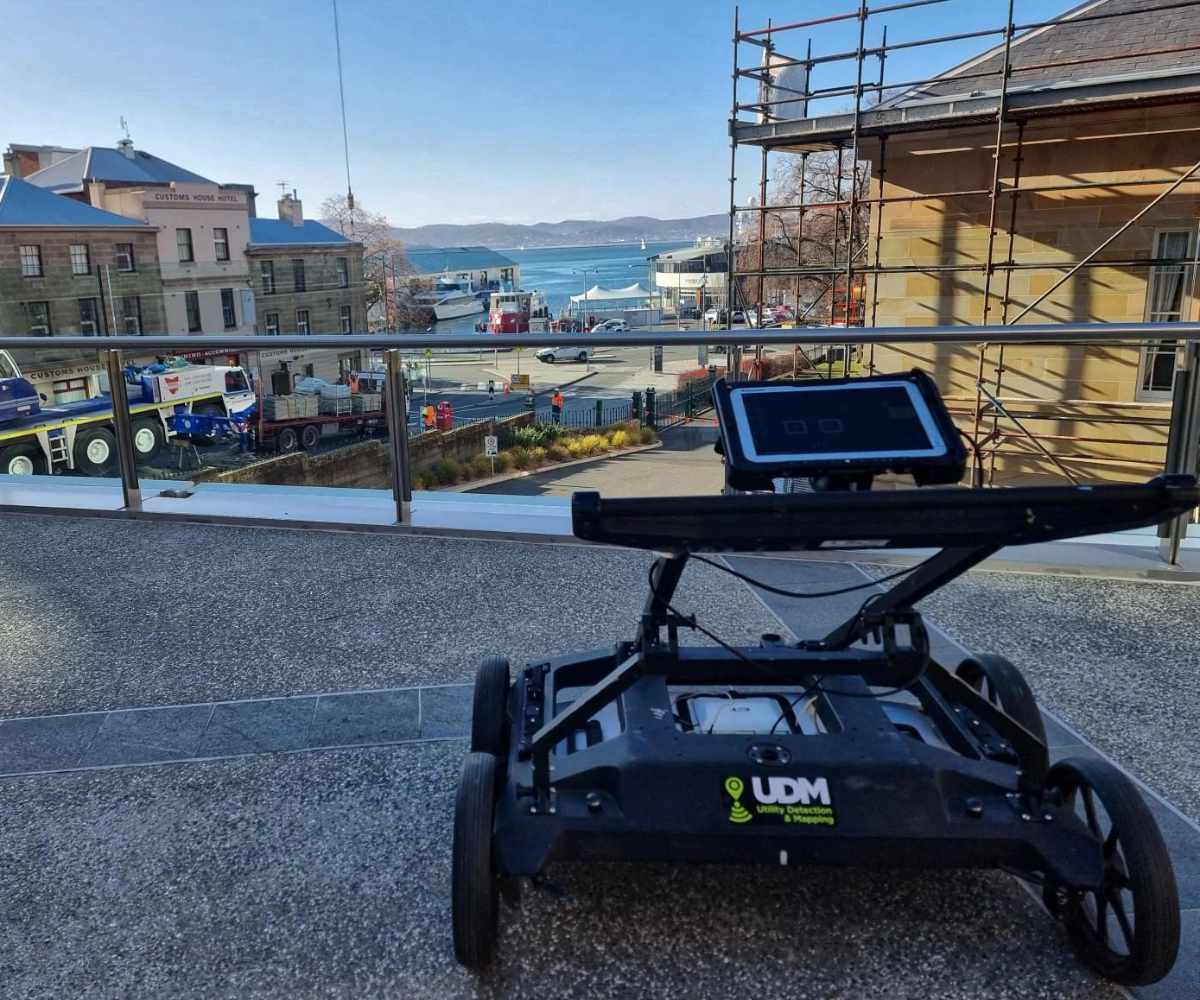
Ground Penetrating Radar (GPR)
Advanced Subsurface Imaging for Infrastructure Projects
Ground-penetrating radar (GPR) technology provides non-destructive insights into what lies beneath the surface. UDM Group delivers professional GPR services across Australia, helping infrastructure professionals identify subsurface features without excavation.
Our GPR systems transmit electromagnetic pulses into the ground, measuring the reflected signals to create detailed subsurface maps. This geophysical technique allows project teams to locate utilities, assess structural integrity, and identify geological features with precision.
How GPR Technology Works
GPR operates by sending radar pulses into the ground and measuring their reflections. When these electromagnetic waves encounter different subsurface materials, they reflect back to the receiver antenna at varying speeds based on the material’s electrical conductivity and dielectric permittivity.
The system measures two-way travel time of these reflections, creating a comprehensive profile of what exists below ground. This data helps project managers make informed decisions about excavation, construction planning, and risk mitigation.
Key factors affecting GPR performance include:
- Soil composition (sandy soils allow better penetration than rocky soils)
- Moisture content of the ground
- Presence of high-conductivity materials
- Frequency of the antenna used
The depth penetration capabilities of GPR systems vary based on antenna frequency. Lower frequency antennas provide greater depth but reduced resolution, while high-frequency antennas deliver detailed imaging of shallow features. UDM Group selects the optimal frequency configuration for each project’s specific requirements.
STREAM DP Multi Array System
The StreamDP represents the pinnacle of GPR technology in UDM Group’s arsenal:
- 30 antenna configuration (18 vertical, 12 horizontal) for double-polarised scanning
- Penetration depth up to 6 metres with exceptional resolution
- 600 MHz bandwidth for detailed imaging of subsurface features
- Single-operator setup in under 5 minutes
- Quasi-3D visualisation capabilities through time-slice analysis
- Energy-efficient design (15W-19W) with hot-swappable batteries for continuous operation
- Ideal for comprehensive utility mapping and complex infrastructure assessment
The StreamDP’s multi-array design captures subsurface data from multiple angles simultaneously, ensuring that linear features such as pipes and cables are detected regardless of their orientation relative to the survey path. This significantly reduces the risk of missing critical infrastructure during site investigations.
STREAM UP Mobile GPR System
Our StreamUP system is engineered for urban environments and rapid deployment:
- Capable of scanning at speeds up to 100 km/h
- Multi-channel, multi-frequency configuration for detecting features at varying depths
- Compact, vehicle-mountable design for efficient large-scale surveys
- Non-contact operation minimises traffic disruption
- Perfect for city-wide utility mapping and infrastructure assessment
The StreamUP system excels in urban environments where traffic management is a concern. Its high-speed scanning capabilities allow for rapid data collection along roadways and transport corridors without extensive lane closures or traffic disruption.
See the invisible
Data Processing and Analysis
Raw GPR data requires expert interpretation to deliver actionable insights. UDM Group’s specialists transform radar survey data into clear, usable information:
- Signal processing to filter noise and enhance feature detection
- Precise geo-referencing of identified subsurface objects
- 3D visualisation of underground structures
- Integration with CAD and GIS platforms including IQMaps and QGIS
- Detailed analysis reports with depth estimation and feature classification
Our processing techniques account for variations in soil conditions and electromagnetic properties across the survey area. This ensures accurate depth estimation and feature identification, even in challenging ground conditions.
The final deliverables include comprehensive digital maps showing the location, depth, and classification of detected features. These can be provided in various formats compatible with common design and asset management systems used in the infrastructure sector.
Applications of UDM Group's GPR Services
Utility Detection and Mapping
Our GPR systems excel at locating both conductive and non-conductive utilities:
- Water and gas pipes at various depths
- Electrical conduits and telecommunications lines
- Drainage systems and culverts
- Unmarked or abandoned services
This comprehensive detection helps prevent service strikes and costly delays during construction projects. GPR is particularly valuable for locating non-metallic pipes such as PVC and concrete, which cannot be detected using traditional electromagnetic locating methods.
Structural Assessment
GPR provides critical insights for infrastructure maintenance:
- Bridge deck analysis to locate stressing cable ducts and identify potential voids
- Wharf and jetty structural integrity assessment
- Concrete scanning for reinforcement mapping prior to cutting or coring
- Void detection beneath pavements and structures
- Assessment of wall and floor thickness in existing structures
These applications help asset managers identify potential structural issues before they become critical, supporting proactive maintenance planning and extending infrastructure lifespan.
Archaeological and Environmental Applications
Beyond construction, our GPR services support:
- Archaeological surveys to identify buried structures and artefacts without disturbing the site
- Mapping tree root systems in urban environments to prevent damage during construction
- Groundwater and spring detection for water resource management
- Location of unmarked burials for cemetery management and historical research
- Paleontological site assessment to guide excavation strategies
- Detection of underground storage tanks for environmental compliance and site remediation
Our GPR technology has proven valuable for heritage conservation projects, allowing archaeologists to plan excavations with minimal impact on significant sites.
Quality Assurance and Compliance
UDM Group maintains the highest standards in GPR service delivery:
- Compliance with AS 5488-2019 for utility location
- Regular equipment calibration and maintenance
- Ongoing staff training in the latest GPR technologies and techniques
- Quality control procedures for data collection and processing
- ISO-certified quality management systems
Our commitment to quality ensures that clients can confidently rely on the information we provide for critical infrastructure decisions.
Why Choose UDM Group for GPR Services
UDM Group delivers value through technical excellence and practical experience:
- Advanced 30-channel
- StreamDP system provides unmatched detail and coverage
- Single-pass scanning reduces site time and project disruption
- Rapid mobilisation and efficient data processing
- Proven track record across infrastructure, utilities and government sectors
- Experienced technicians with extensive knowledge of Australian subsurface conditions
- Comprehensive reporting that translates technical data into practical information
Our clients benefit from reduced project risk, improved planning capabilities, and enhanced decision-making based on accurate subsurface information.
UDM Group's GPR Service Delivery Process
Initial consultation
Site assessment
Field data collection
Data processing and analysis
Delivery
GPR System Types for Different Project Requirements
UDM Group selects the appropriate GPR configuration based on project needs:
- Single-channel GPR for targeted investigations of specific areas
- Multi-channel systems for comprehensive site surveys covering large areas efficiently
- Multi-frequency configurations for simultaneous shallow and deep detection
- Double-polarised setups for enhanced feature recognition regardless of orientation
The selection of appropriate GPR system is critical to project success. Our team assesses each site’s specific requirements and ground conditions to determine the optimal equipment configuration.
Advantages of GPR Technology
GPR offers significant benefits compared to traditional investigation methods:
- Non-destructive assessment preserves existing infrastructure and surfaces
- High-resolution imaging of subsurface features provides detailed information
- Effective across various terrain types and surface conditions including concrete, asphalt, and soil
- Real-time data collection allows immediate decision-making in the field
- Reduces project costs by minimising exploratory excavation
- Improves safety by identifying hazards before ground disturbance begins
- Environmentally friendly approach that eliminates the need for test pitting
These advantages make GPR an essential tool for modern infrastructure projects where time, cost, and risk management are critical factors.
Contact UDM Group for GPR Services
For professional GPR services that deliver accurate subsurface information, contact UDM Group:
Call 03 6171 2555, email admin@udmgroup.com.au, or use this contact form to initiate a discussion with us.
Our team will assess your project requirements and recommend the appropriate GPR solution to identify subsurface features, minimise risk, and support informed project decisions. With UDM Group’s GPR expertise, you can proceed with confidence knowing what lies beneath.