Mobile Laser Scanning
Detailed 3D mapping of roads, corridors and surrounding assets. Read about Mobile Laser Scanning.
Surveying • Scanning • Subsurface Mapping
Understand your site above and below ground. Clear, accurate survey and mapping information to help you plan, design and build with confidence.
Established 2018 • Eight specialist capabilities • One experienced team
UDM combines mobile laser scanning, surveying and subsurface investigations to reveal existing site conditions—from roads, buildings and terrain to underground services and concealed structures.
We turn complex site information into practical plans, detailed 3D models and spatial data for infrastructure, construction, property development and asset management. Each project brings together the methods needed to answer your questions and support your next decision.
Tell us the site, project stage and information you need.
Detailed 3D mapping of roads, corridors and surrounding assets. Read about Mobile Laser Scanning.
Precise measurements, levels and survey control for design and construction. Read about Surveying & Spatial.
Detailed 3D records of buildings, structures and existing environments. Read about Reality Capture.
Aerial mapping of terrain and large project areas. Read about UAV / LiDAR.
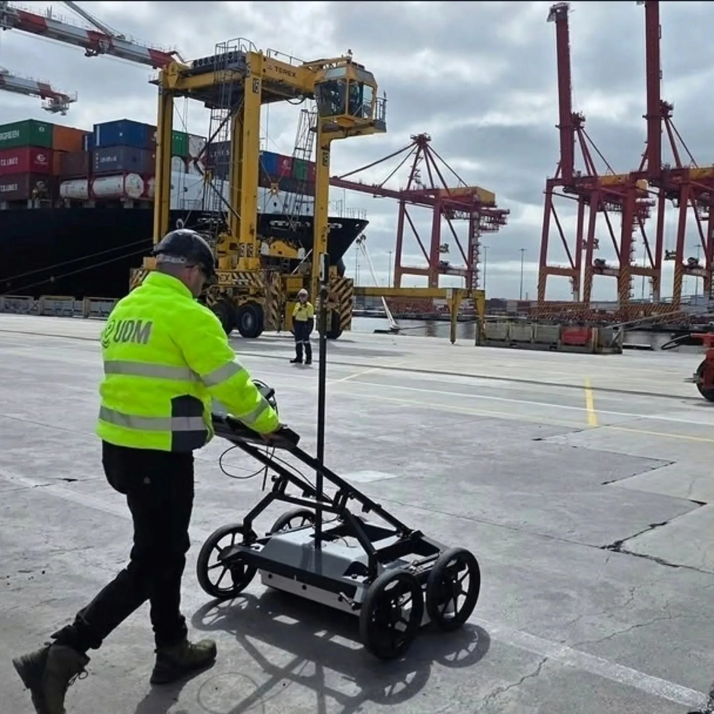
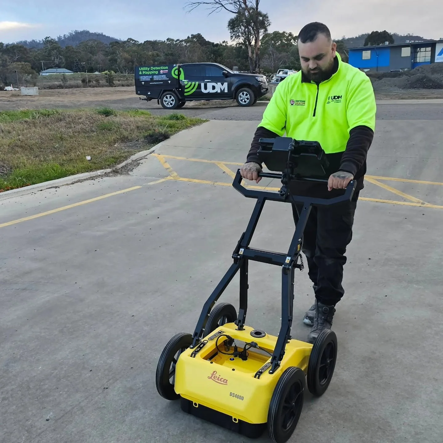
Investigations of buried services, structures and subsurface features. Read about Ground Penetrating Radar.
Detection and mapping of underground service networks. Read about Utility Locating.
Investigation of reinforcement and embedded services before cutting, coring or drilling. Read about Concrete Scanning.
Internal inspection of pipes and drainage to assess condition and identify obstructions. Read about CCTV Pipe Inspections.
We bring surveying, detection and digital capture capabilities together so project teams can work from better information.
Field teams working across surveying, utility locating, geospatial work and inspection
Technology selected around project scope and site conditions
Digital outputs supporting planning, design, construction and asset workflows
Practical consultation from initial scope through data delivery
We’ve operated since 2018, building UDM into a multi-disciplinary team of 15 people. Our surveyors measure sites above ground and investigate what sits beneath them, using ground penetrating radar in single, multi-array and mobile forms, CCTV pipe inspection inside pipes and drains, concrete scanning before cutting or coring, and reality capture and UAV LiDAR where a site needs recording in three dimensions. Our Director, Rod, has worked across the industry and regularly guest-speaks at commercial construction and utility compliance conventions. That technical perspective shapes how we approach project scoping, fieldwork and the information we deliver. We work with homeowners, builders, construction companies and property developers, while our growing capability also supports civil, infrastructure, corporate and government project requirements.
About UDM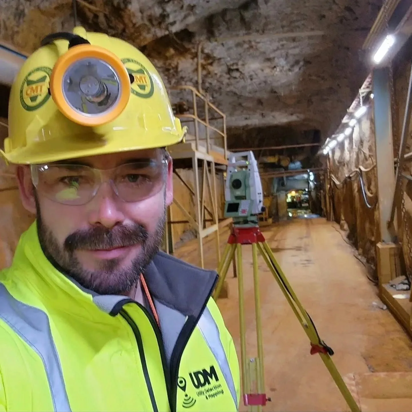
UDM supports surveying, subsurface investigation and spatial-data projects across a growing Australian operational footprint. Our location pages outline the areas we service while our project approach remains driven by scope, access, site conditions and the information required. Whether a project calls for ground penetrating radar over the ground, CCTV pipe inspection inside a line, concrete scanning ahead of cutting, or surveying and spatial work, reality capture and UAV LiDAR above the surface, we can talk through the combination of methods that suits it.
Our home ground, worked since 2018 across construction, utility and property projects statewide.
Subsurface detection and measured survey data for Brisbane building, civil and asset works.
Radar, pipe inspection and aerial capture for Geelong development and infrastructure sites.
Constrained Sydney sites where knowing what sits below is the first step.
Survey control, utility detection and asset records for Canberra infrastructure programmes.
Scanning, inspection and three-dimensional capture for Adelaide projects at any stage.
Underground detection and spatial data for Melbourne construction and civil delivery.
Tell us about your site, your project and the information you need. Our team will help define the scope and provide a tailored proposal.