

Utility Location & Mapping
Utility Mapping with UDM Group
In today’s complex infrastructure landscape, knowing what lies beneath the surface is critical. Utility mapping uncovers the hidden network of water pipes, gas lines, electrical cables and other subsurface utilities that are vital to modern life but remain invisible until properly located.
For construction projects, urban development and emergency planning, our precision utility mapping delivers three essential outcomes: enhanced safety, improved efficiency and assured compliance. This service has become a game-changer for organisations managing underground infrastructure and planning excavation work.
UDM Group employs cutting-edge tools including Ground Penetrating Radar (GPR), electromagnetic locators and Geographic Information Systems (GIS) to deliver survey-grade accuracy when mapping underground assets. Our approach eliminates guesswork, providing reliable data you can trust whether you’re breaking ground on a new development or managing existing subsurface assets.
Our Utility Mapping Process
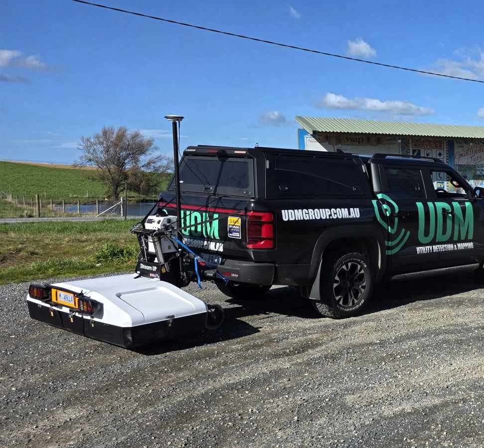
Our comprehensive process begins with a thorough site survey where our technicians utilise GPR technology to “see” underground without disturbing the surface. This non-invasive approach allows us to identify unknown utilities without a single excavation.
For metallic pipes and cables, our electromagnetic locators detect invisible fields, complementing our GPR findings. This multi-technology approach ensures we capture the full spectrum of underground assets.
The raw data collected on-site flows into sophisticated GIS software, transforming into detailed digital utility maps that reveal the complex network beneath your feet. We meticulously cross-reference our findings against existing records, ensuring accuracy that meets AS5488 compliance standards.
Our cloud-based platforms provide real-time access to your utility maps, keeping your project team synchronised regardless of location and supporting informed design decisions throughout your project lifecycle.
Utility Mapping Use Cases
Construction sites operate smoothly when utility strikes are eliminated – preventing costly delays, repairs and potential safety incidents. Our precise utility mapping significantly reduces risks during excavation, keeping your project on time and within budget.
Urban planners rely on our detailed mapping services to integrate new infrastructure into crowded cityscapes or expand existing networks without disrupting critical services.
Emergency response teams addressing gas leaks or water main bursts can pinpoint underground utilities quickly with our accurate data, minimising response times and community impact.
Maintenance teams benefit from our comprehensive utility maps, reducing downtime for repairs and ensuring service continuity. For asset management professionals, our detailed mapping supports strategic planning for upgrades, expansions and preventative maintenance.
The Many Faces of Utility Mapping
Our services are tailored to locate and map all types of utility:
- Water infrastructure (pipes, valves, hydrants)
- Gas lines and distribution networks
- Electrical cables and conduits
- Telecommunications infrastructure
- Stormwater and sewerage systems
We provide comprehensive solutions for both above and below-ground assets, capturing every detail from overhead power lines to deeply buried pipes with survey-grade accuracy.
Our technology-driven options include:
- GPR scanning for deep penetration and non-metallic utility detection
- Electromagnetic locating for precise metallic utility identification
- GIS mapping for comprehensive digital documentation
- Laser scanning and 3D modelling for enhanced visualisation
We scale our services to match your requirements – from single-site utility detection for targeted projects to comprehensive mapping of extensive underground infrastructure networks for major developments.
Why UDM Group's Utility Mapping Stands Out
Safety First
Cost Efficiency
Compliance Assured
Informed Decision-Making
Asset Reliability
Environmental Responsibility
What's New in Utility Mapping
Cloud Integration
Advanced Analytics
3D Modelling
Enhanced GPR Technology
UDM Group: Your Utility Mapping Partner
We maintain our industry leadership through investment in the latest technology, ensuring your utility maps reflect current conditions with survey-grade accuracxwy.
Our specialists combine technical expertise with extensive field experience, mastering both established techniques and emerging methodologies in underground utility locating.
We recognise that every project presents unique challenges, which is why we develop customised solutions for everything from concrete scanning for small excavations to comprehensive mapping for major infrastructure projects.
Our commitment to safety, efficiency and sustainability aligns with the future of infrastructure management, making UDM Group your ideal partner for all utility mapping requirements.
Contact Us Today
Ready to see how our utility mapping services can transform your next project? Contact us today for a consultation with our technical team.
Don’t leave your underground asset management to chance. Accurate utility data forms the foundation of project success, and UDM Group has the expertise to deliver it with precision and confidence.
Utility mapping isn’t merely a service—it’s the backbone of smarter, safer infrastructure development and management. With UDM Group, you’re securing more than maps; you’re gaining peace of mind through our industry-leading expertise and innovative approach to underground utility mapping.