An Advanced Underground Utility Locating Technique
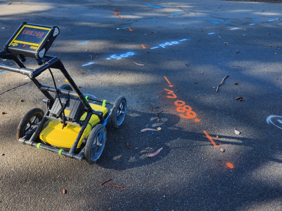
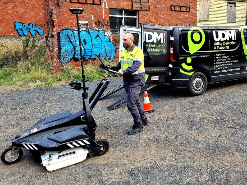
A Ground Penetrating Radar (GPR) is a specialised piece of equipment radio waves to gather sub-surface data. Most often it is used to locate existing underground utilities and pipes and cables, although it also has applications within archaeology, geophysical engineering and the military.
The GPR works by projecting electromagnetic waves that travel through the earth to reflect signals and images back to the receiver. Detecting differences within the sub-surface to identify structures and objects such as rocks, pipes, cracks, voids and strong changes in material properties, GPR helps to understand what lies beneath the surface prior to drilling or digging.
GPR is effective at identifying services that are non-conductive or impossible to trace using traditional electronic methods. Depending on the project or site, GPR assists in planning the safe placement of new infrastructure.
Benefits of Ground Penetrating Radar (GPR)
GPR is one of the most advanced underground utility locating techniques when combined with electromagnetic locating. 2D scans and 3D data acquisition are both available. GPR is used for the location and survey of conductive and non-conductive subsurface utilities and structures. It is the ideal way to locate:
- Fibre optic cables
- Forensics
- Fuel tanks
- Nylon gas
- Road and pavement inspections
- Sewer and storm water
- Underground storage tanks
- Underground structures
- VC water mains and services
Using precision pipe and cable locators, in hand with GPR technology, our team can induce, detect and trace underground utilities, pipes and cables prior to any subsurface work being carried out. All work is undertaken in accordance with Australian standards of Classification of Subsurface Utility Information (SUI) AS 5488-2019.


