A Safe & Unobtrusive Way
to Collect Data
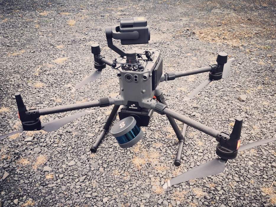
Aerial mapping and drone LiDAR surveys map large area while obtaining accurate data. Offering the same results as topographical surveys, only with faster turnaround time, aerial and LiDAR are suitable to assist in exploration, flood studies and general project planning.
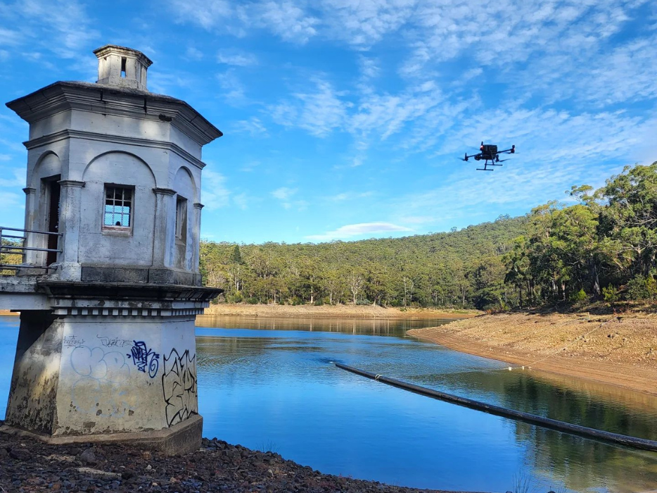
Safe and unobtrusive, the use of Unmanned Aerial Vehicle (UAV) technology is also an effective alternative for mapping inaccessible, hazardous or culturally sensitive terrain.
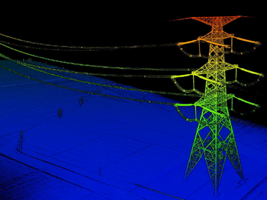
The LiDAR aerial mapping technique uses laser light beams and onboard sensors to reflect pulses as images on receivers that generate georeferenced points, which are then processed and used to generate 3D models of terrain, buildings, vegetation and any other assets.
This low level, high accuracy, high resolution imagery is suitable for engineering design, volumetric computations and obtaining orthometric imagery across such industries as construction, mining, agriculture and transportation. They provide dense, precise data and work both day and night, offering a cost-effective mapping solution or aerial inspection.
Applications
- 3D models of sites
- Track construction progress
- Monitor and count plant
- Hazard identification
- Road/slope/land monitoring
- Mine or quarry monitoring and operation planning
- Inventory management and stockpile volume measurement
- Environmental monitoring
- Assess losses after major weather events
Benefits of UAV Aerial Imagery
Along with our two multi-rotor systems we use for aerial imagery and inspections, UDM Group have recently taken delivery of the first VTOL (Vertical take-off/landing) drone in Tasmania. The Foxtech Nimbus VTOL V2 fixed wing plane can take off, hover and land vertically like a multi-rotor system which enables ease of access. Along with this function is has a single flight time of over 90 minutes and a range of 10km if required. Perfect for Pipeline and road corridor mapping.
There are significant advantages for using UAVs including:
- Cost effective alternative to traditional aerial photography
- Higher resolution alternative to satellite imagery
- Fast deployment for on-demand data collection and inspection
- Accurate measurement of stockpiles, waste and subsidence
- Safe collection of data/images of inaccessible infrastructure
- No personnel are placed in hazardous areas

