
Surveyors in Brisbane
Subsurface detection and measured survey data for Brisbane building, civil and asset works.
Request a scope discussion
Tell us where the site is and when you need the data.
Integrated Survey Data for Brisbane Projects
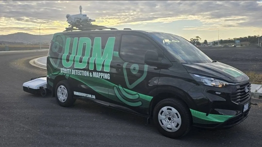
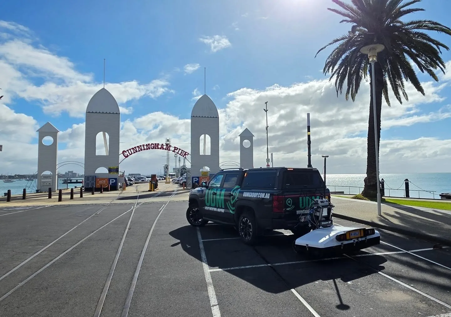
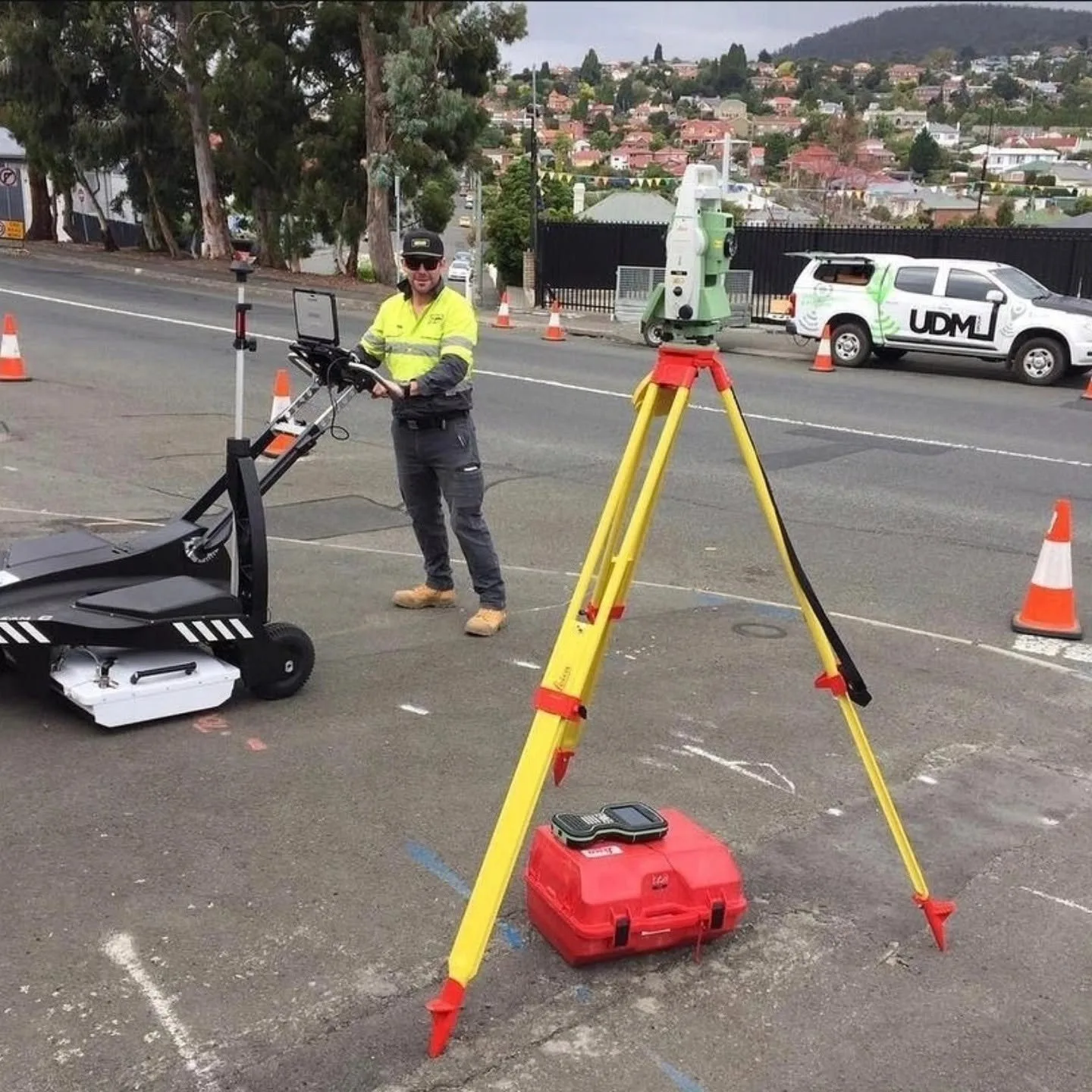
As surveyors working on Brisbane projects, we help teams understand a site before decisions are locked in. UDM measures a site with GNSS and total stations, traces what runs beneath it with ground penetrating radar, looks inside drainage with CCTV pipe inspection, checks slabs with concrete scanning before anyone cuts, and records the whole picture in three dimensions through reality capture and UAV LiDAR. Infrastructure, construction, property, civil and asset work all rely on knowing what exists above and below ground, and our surveying in Brisbane is scoped around exactly that question. Collected data is processed for planning, design, construction, monitoring and asset workflows. Call (03) 6171 2555 to discuss scope and deliverables.
Ground Penetrating Radar in Brisbane
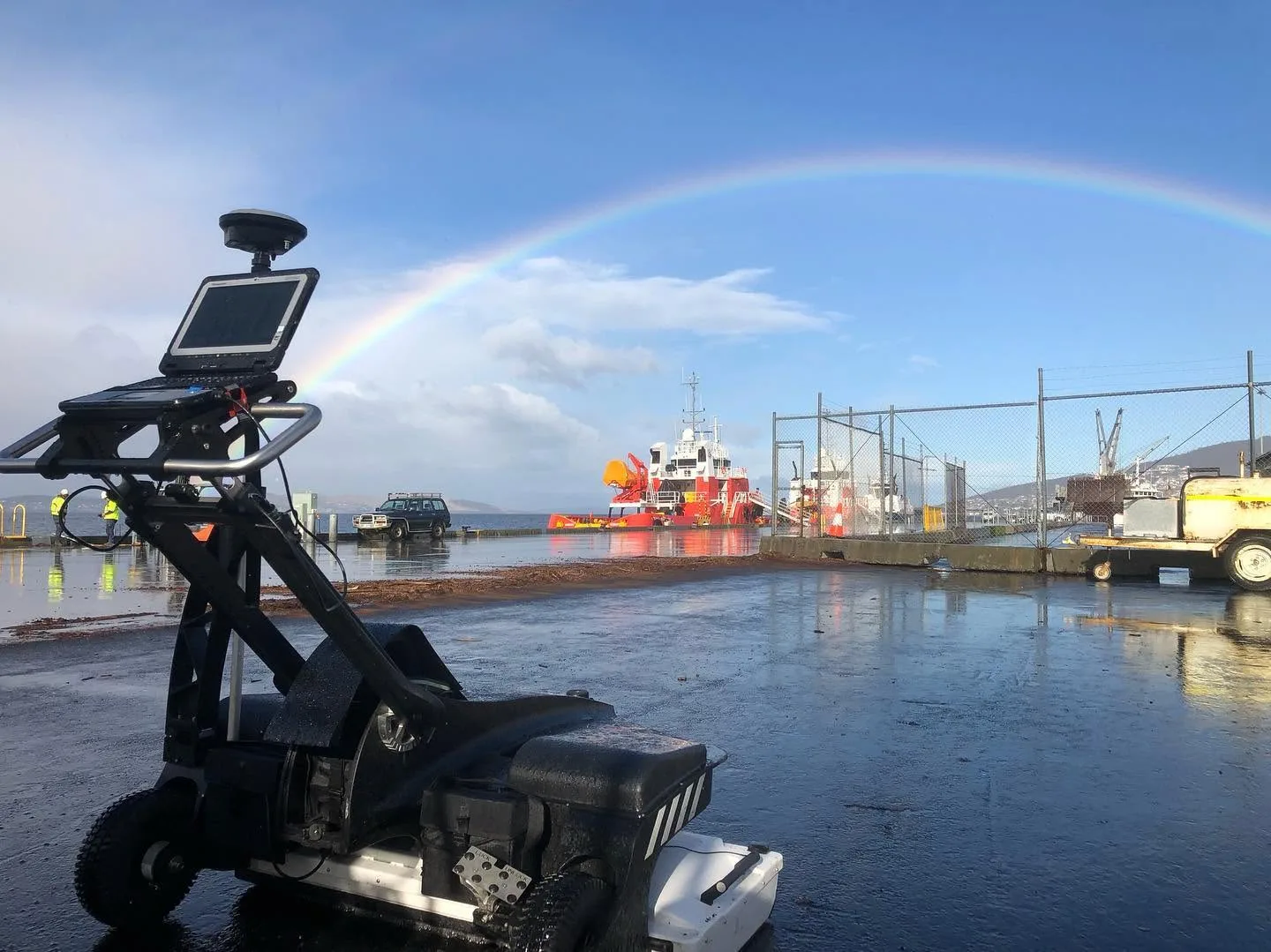
Radar gives us a non-intrusive way to investigate what a surface conceals. We collect and interpret GPR data to identify buried utilities and other changes in subsurface material, selecting antenna configurations to suit the depth of interest and the ground being surveyed. Used alongside electromagnetic locating, radar broadens what a detection survey can pick up. Interpreted results can be geo-referenced and issued in a form that supports design, planning and asset records.
CCTV Pipe Inspection in Brisbane
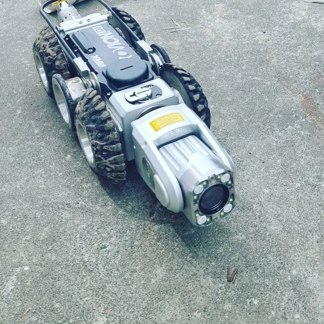
Pipe problems are easier to resolve when the pipe has been seen from the inside. Our inspections move a camera through drainage and pipeline systems from a suitable access point, recording visible defects such as cracking, blockages, root intrusion and corrosion. Push-rod cameras and tractor units cover different pipe sizes and layouts. The resulting record supports condition assessment, maintenance scheduling and decisions on whether repair or further investigation is warranted.
Concrete Scanning in Brisbane
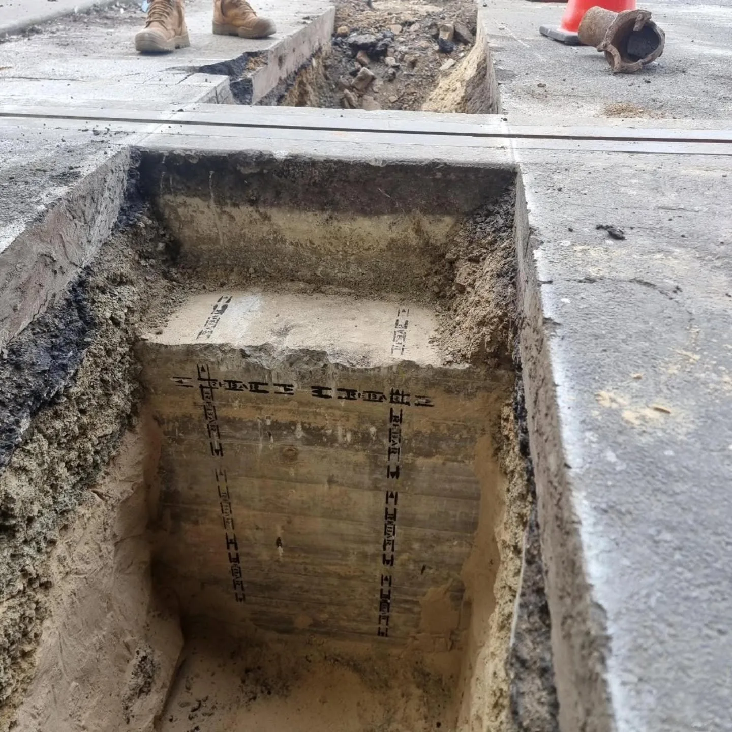
Concrete scanning reduces uncertainty around what is embedded in a structural element. Ground penetrating radar can respond to reinforcing steel, post-tension cables, conduits and pipes inside slabs, walls and floors, and it does so from the accessible face rather than through destructive investigation. We scope the survey around the element, the coverage needed and the planned works so cutting, coring, drilling and structural assessment can proceed with better information.
Surveyors in Brisbane
Above and below ground, captured with the method the project needs.
Surveying and Spatial in Brisbane
Civil, infrastructure, construction and asset work all rest on measured spatial data. We deliver engineering and road surveys, deformation monitoring, asset mapping and existing-conditions capture, combining GNSS, total stations, laser scanning and aerial methods according to accuracy, access and coverage needs. Where movement or change matters, repeat observations build a monitoring record over time. Outputs are structured for design coordination, construction delivery and the asset workflows that follow handover.
UAV / LiDAR in Brisbane
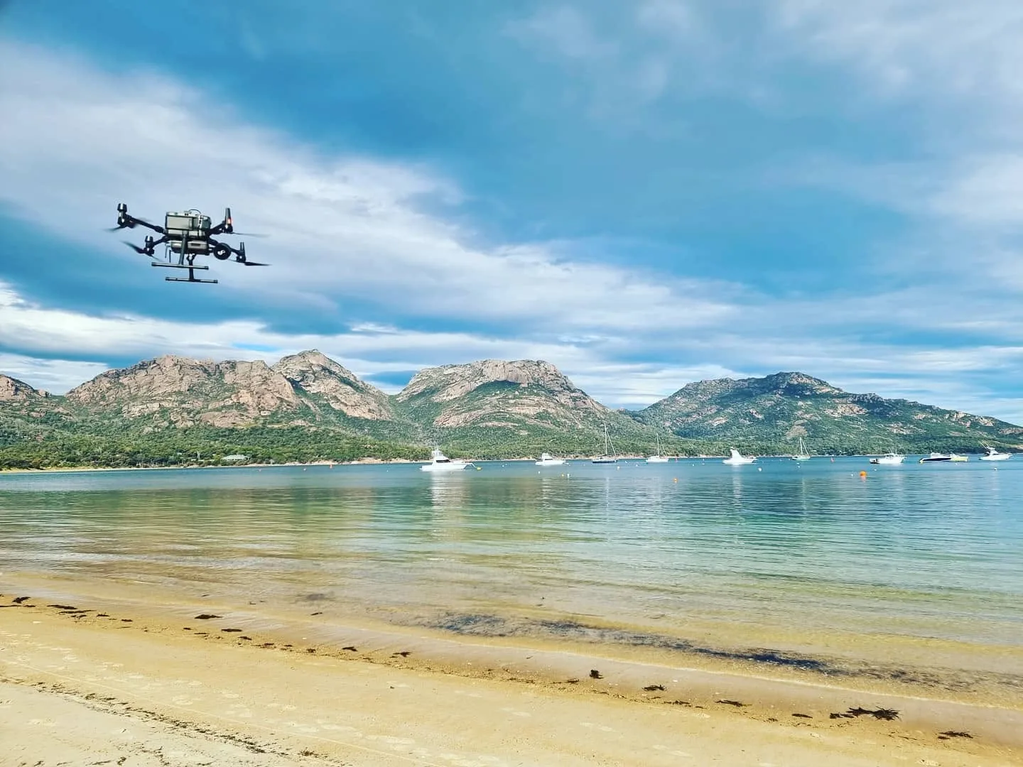
Aerial capture suits projects where coverage is broad or ground access is limited. LiDAR measures distance from returned laser pulses and produces dense point clouds of terrain, structures and site conditions, while drone imagery documents the same area visually. Both feed mapping, modelling, surface analysis and digital project environments. We select flight and sensor configuration around terrain, access constraints and how the data will ultimately be used.
Discuss a project
Tell us where the site is and what stage the project is at, and we will set out the approach.