
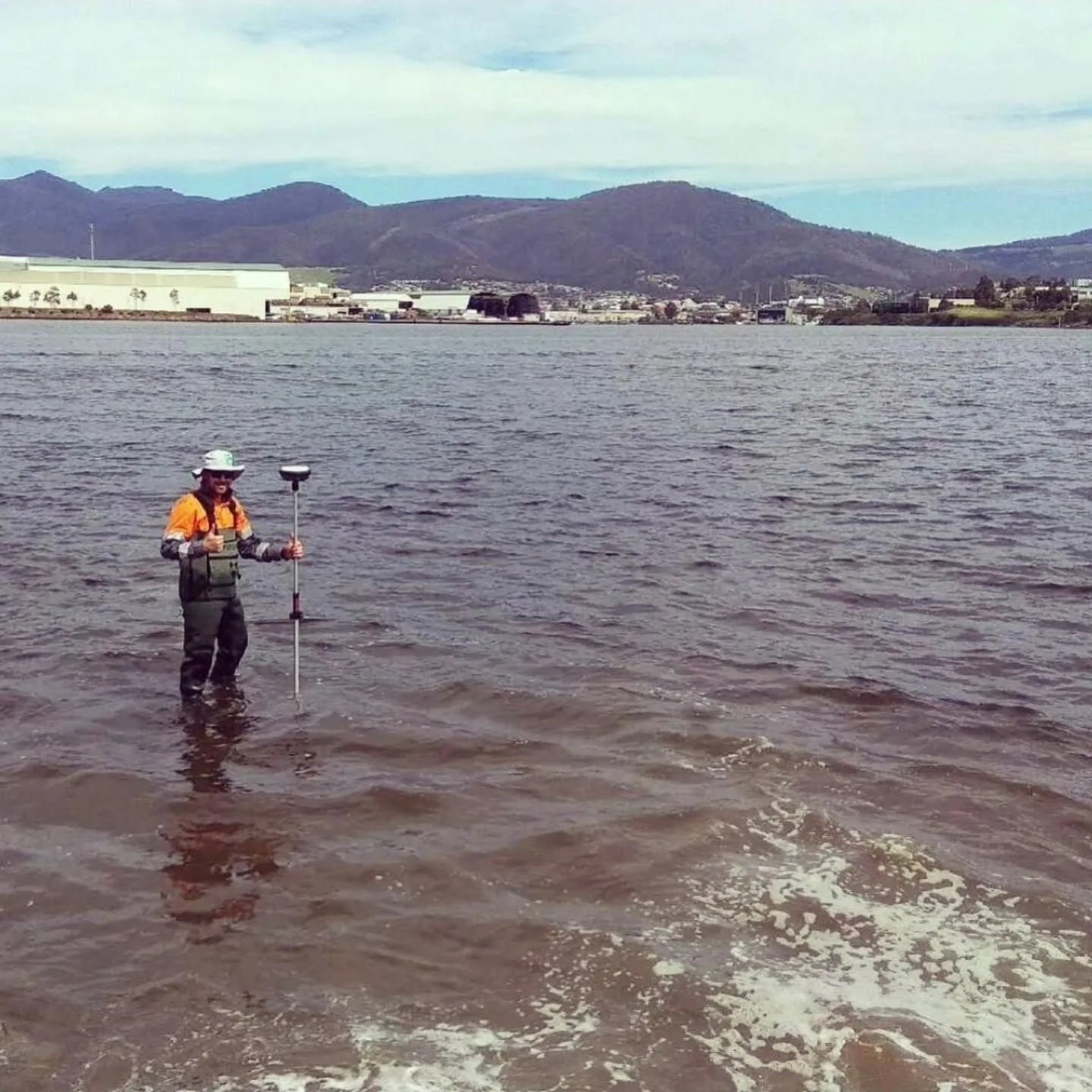
Surveyors in Tasmania
Our home ground, worked since 2018 across construction, utility and property projects statewide.
Request a scope discussion
Tell us where the site is and when you need the data.
Our Established Tasmanian Capability
UDM works as surveyors across Tasmania, supporting infrastructure, construction, property, civil and asset projects that need existing conditions recorded before work progresses. Our field teams pair GNSS and total-station surveying with ground penetrating radar below the surface, send a camera through a line where CCTV pipe inspection is the only way to see inside it, use concrete scanning ahead of cutting or coring, and record wider sites through reality capture and UAV LiDAR. The information we collect is processed so it can feed planning, design, construction, monitoring and asset workflows directly. Tasmania projects often involve several data types at once, and we scope that mix with your team before fieldwork starts. Call (03) 6171 2555 to talk through your project.
Ground Penetrating Radar in Tasmania
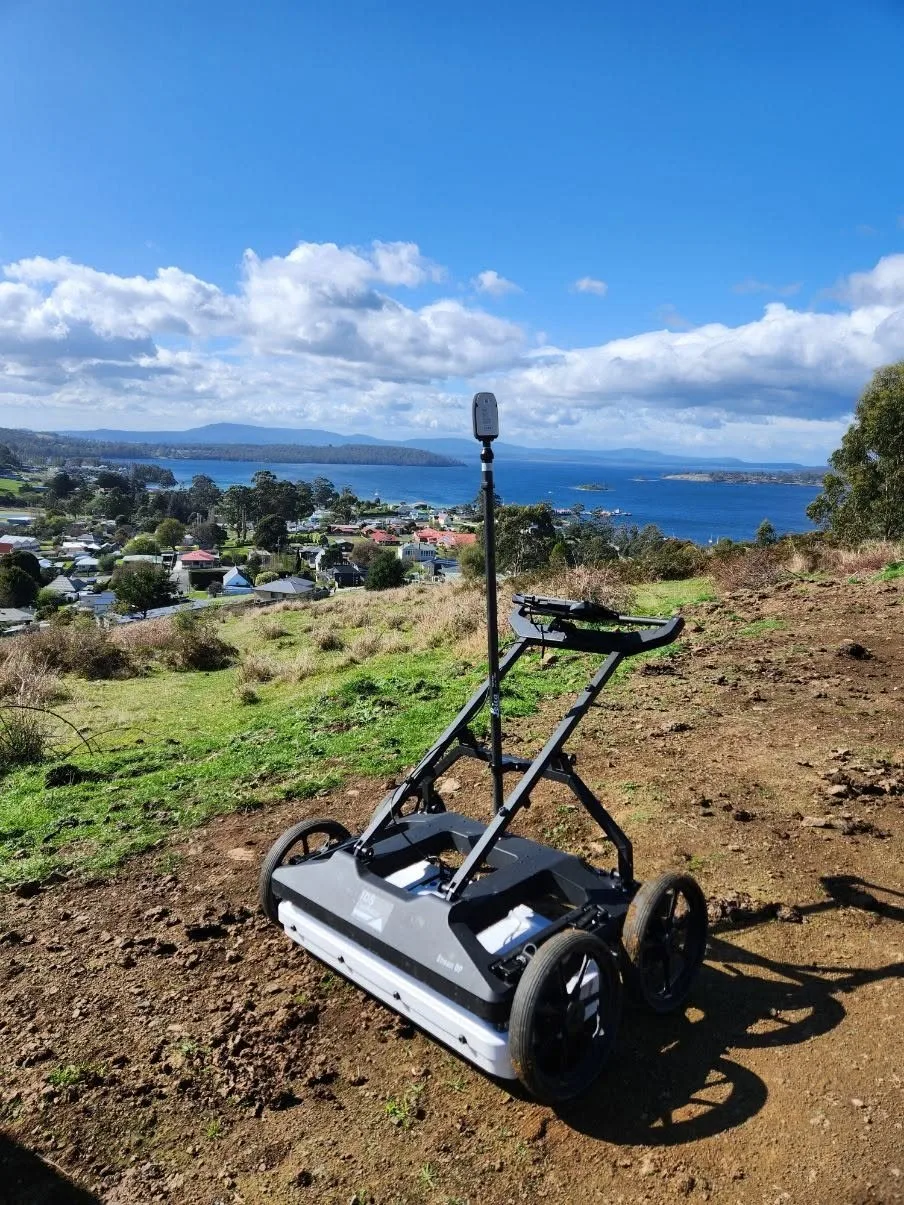
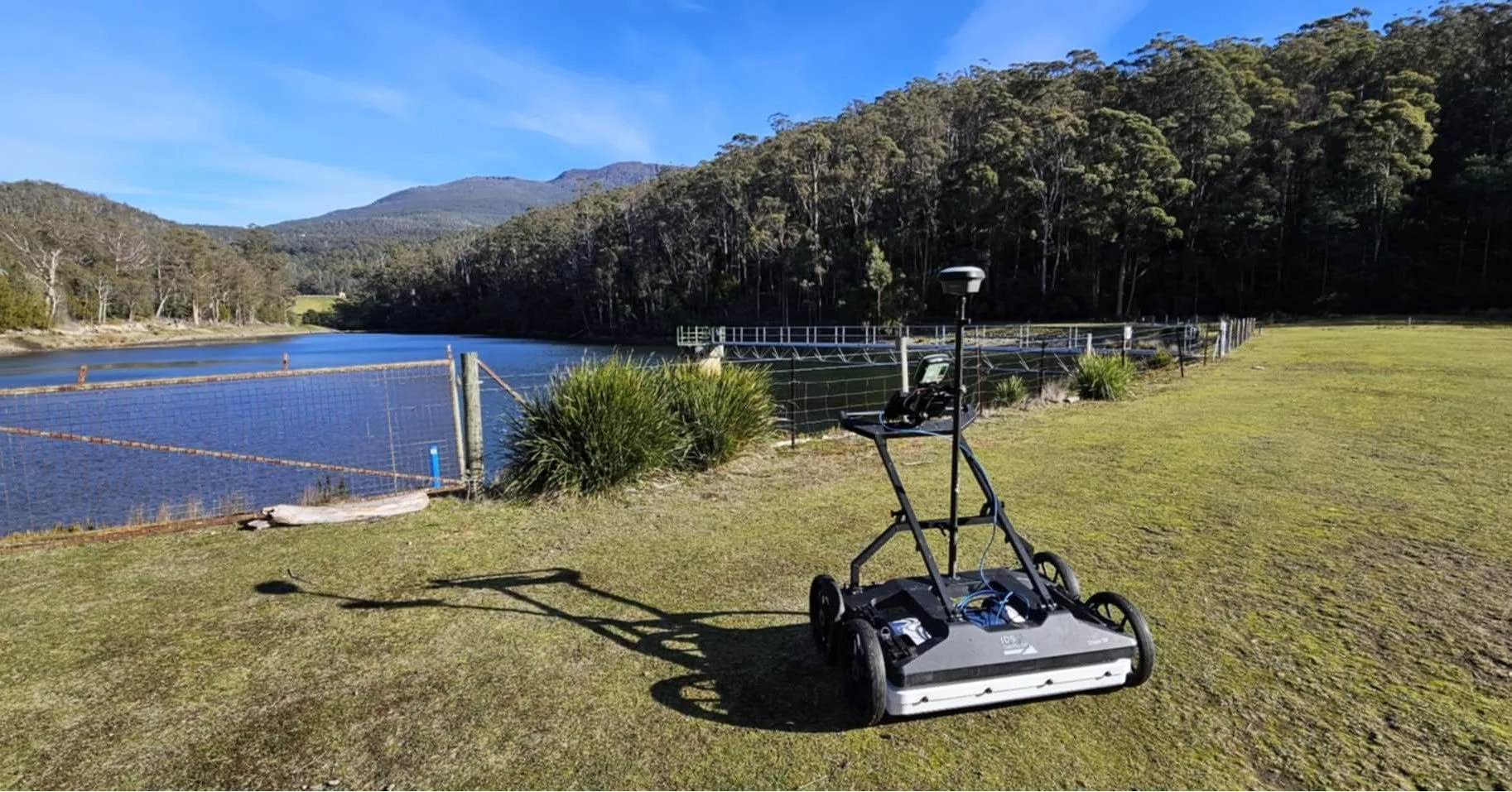
Ground penetrating radar lets us look beneath a surface without excavating it first. We use single-channel, multi-channel and mobile systems to record responses from buried utilities and other subsurface changes, then interpret those responses into information a project team can act on. GPR also complements electromagnetic locating, which helps when a network includes services that electromagnetic methods alone may not pick up. Survey design depends on the ground, the depth of interest and the coverage required.
CCTV Pipe Inspection in Tasmania
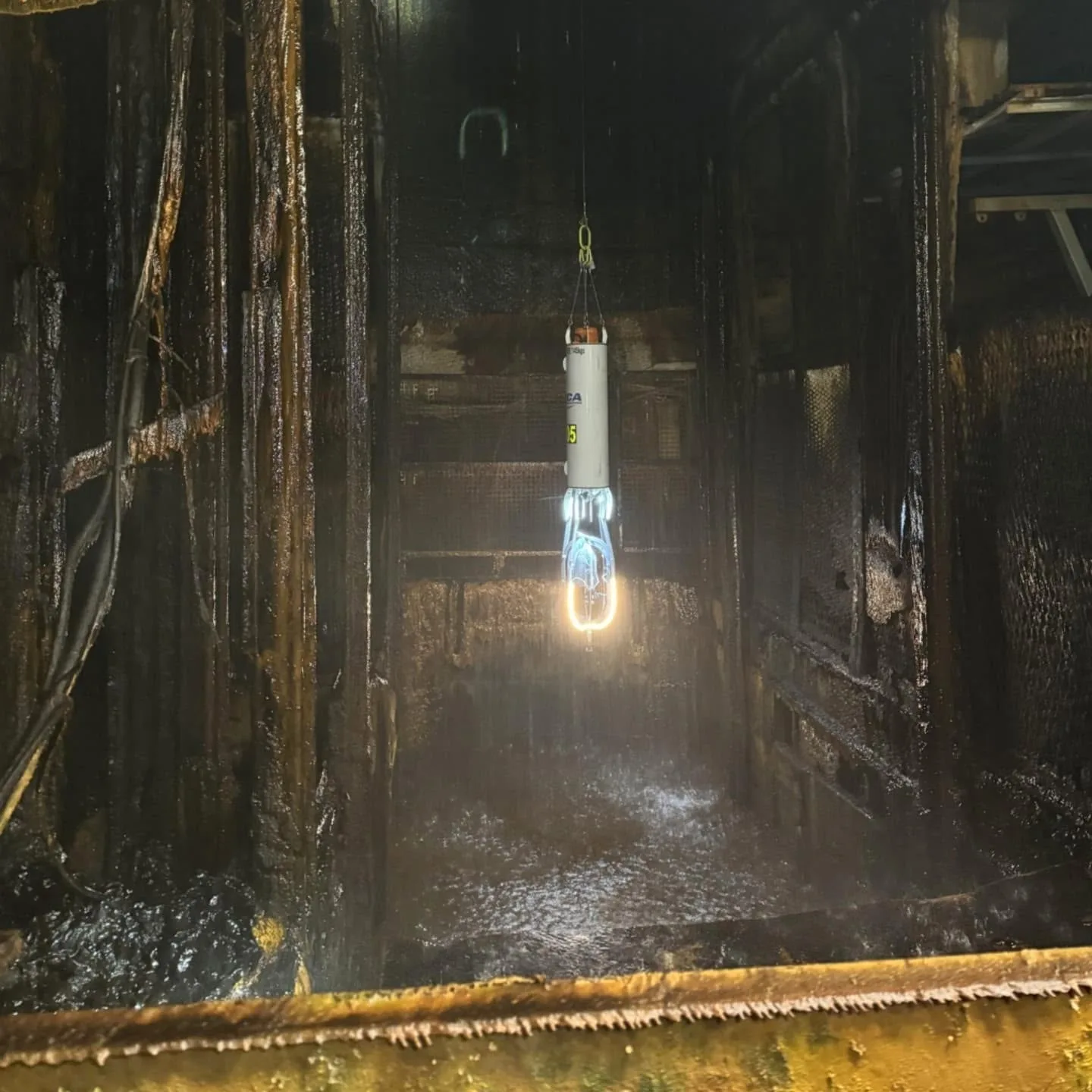
A camera inside a pipe shows what surface inspection cannot. Our CCTV pipe inspections record the internal condition of drainage and pipeline systems, so visible cracking, blockages, root intrusion and corrosion can be reviewed rather than guessed at. Equipment is chosen around pipe size and the access available. The recorded footage and observations give asset owners a practical basis for maintenance planning, condition assessment and decisions about further investigation or repair.
Concrete Scanning in Tasmania
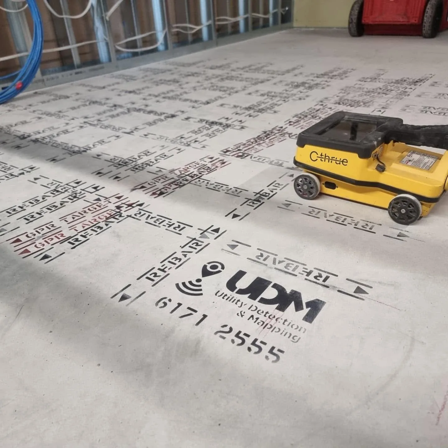
Before a slab, wall or floor is cut, cored or drilled, it helps to know what sits inside it. Concrete scanning with GPR can indicate reinforcement and its arrangement, post-tension cables, electrical conduits and embedded pipes without opening the element. We set the scanning scope around the structure, the accessible surface and the planned penetrations, then report findings so intrusive work can be planned with better awareness of what is embedded.
Surveyors in Tasmania
Above and below ground, captured with the method the project needs.
Surveying and Spatial in Tasmania
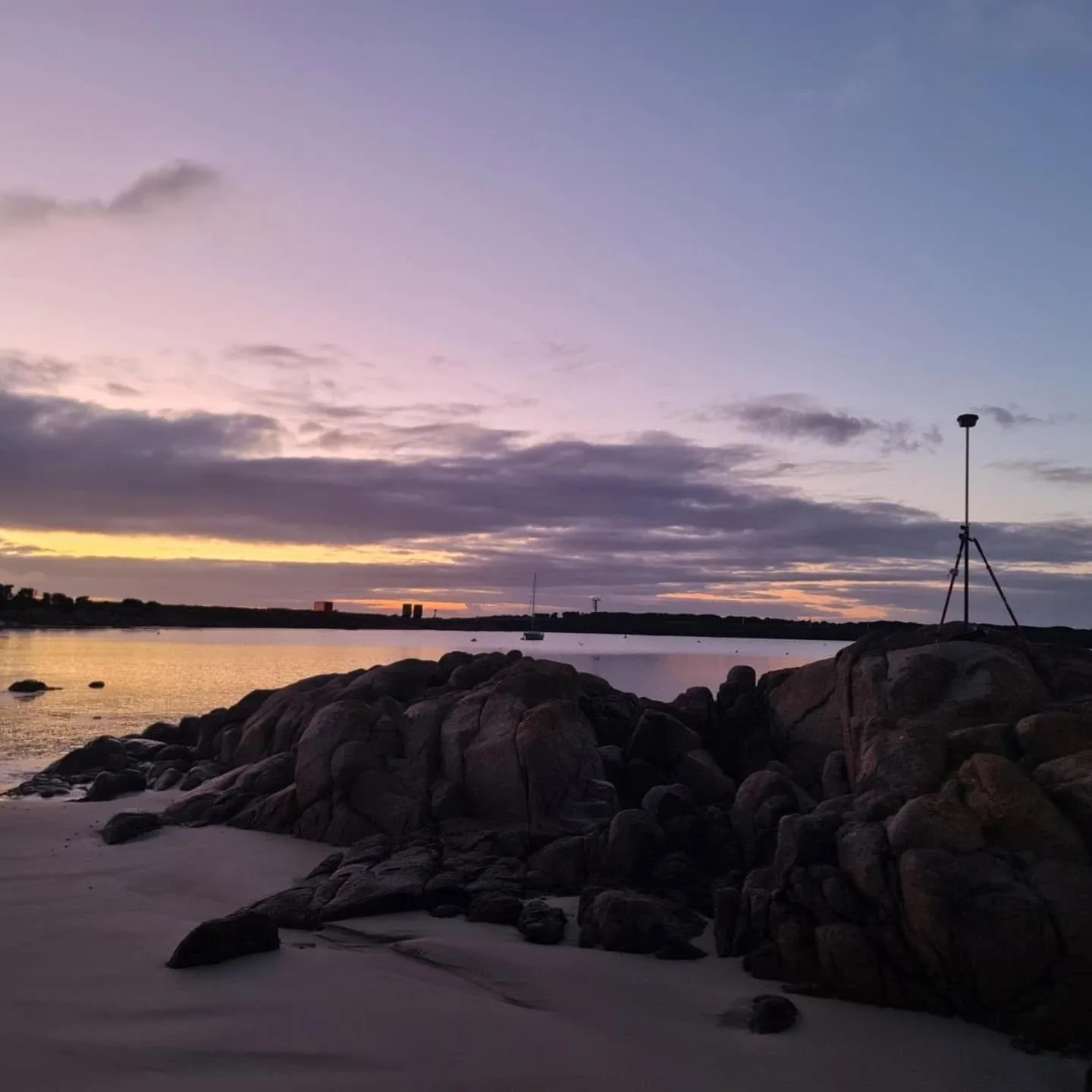
Our surveying and spatial work provides the measured framework a project is built and checked against. We use GNSS, total stations, laser scanning and aerial capture across engineering surveys, road surveys, deformation monitoring, asset mapping and records of existing site conditions. Repeat observations can track movement where a structure or surface needs watching over time. Deliverables are prepared so design, construction, monitoring and asset teams can work from the same spatial information.
UAV / LiDAR in Tasmania
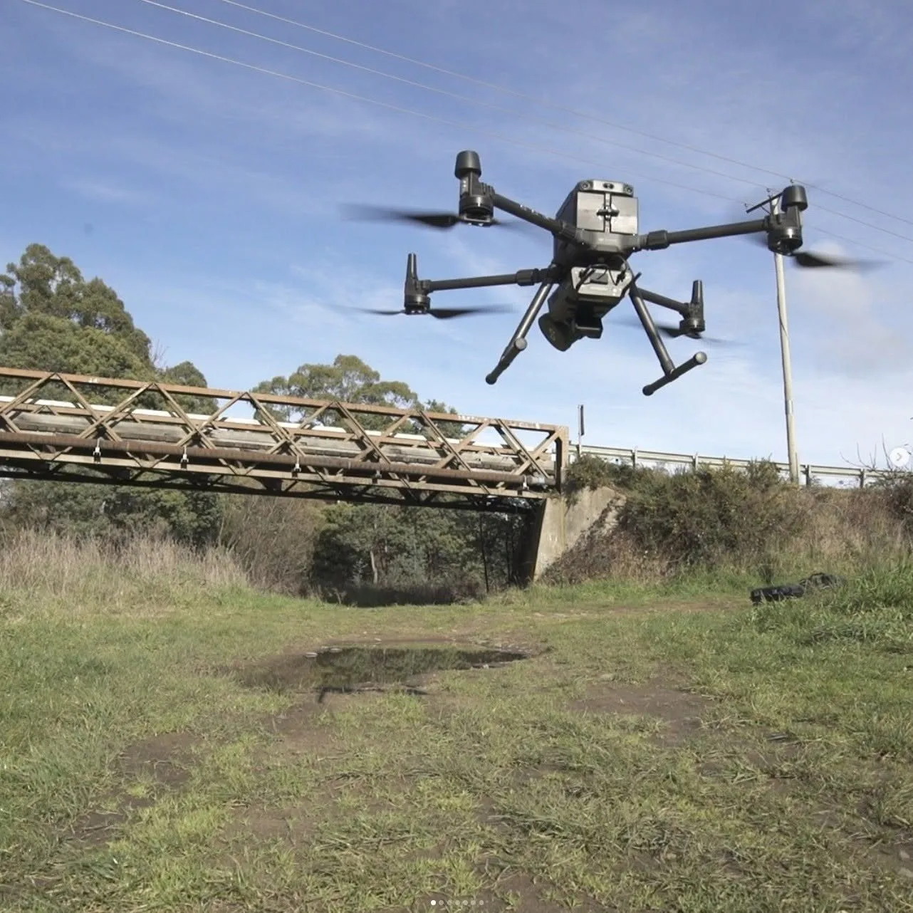
Where a site is large, complex or awkward to walk, capturing it from the air is often the more practical option. LiDAR records dense point-cloud data describing terrain, structures and site conditions, while UAV imagery adds visual context across the same coverage. Together they support mapping, terrain and surface modelling, infrastructure documentation and asset analysis, and they reduce how much of a difficult site personnel need to cover on foot.
Discuss a project
Tell us where the site is and what stage the project is at, and we will set out the approach.