Mobile Laser Scanning
Laser scanners carried on the move record roads, corridors and built assets as measured 3D data.
Electromagnetic locating and radar help identify buried services before excavation or design starts.
Tell us about the site and what you need to find.
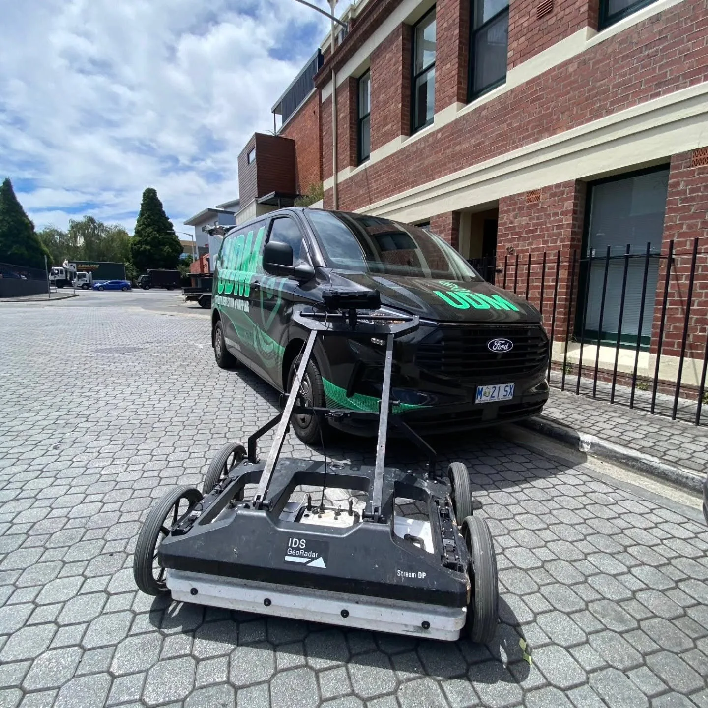
At UDM, we provide utility locating in Australia so project teams can understand where buried services are likely to run before excavation, design or construction begins. We use electromagnetic locating to trace conductive services and pair it with ground penetrating radar where non-conductive services or complex ground need further investigation. We mark located services on site and can survey them so their positions sit within the wider site dataset. Where a project calls for broader subsurface coverage, our ground penetrating radar service provides additional options. Talk with our team about the site and the services you need located on (03) 6171 2555.
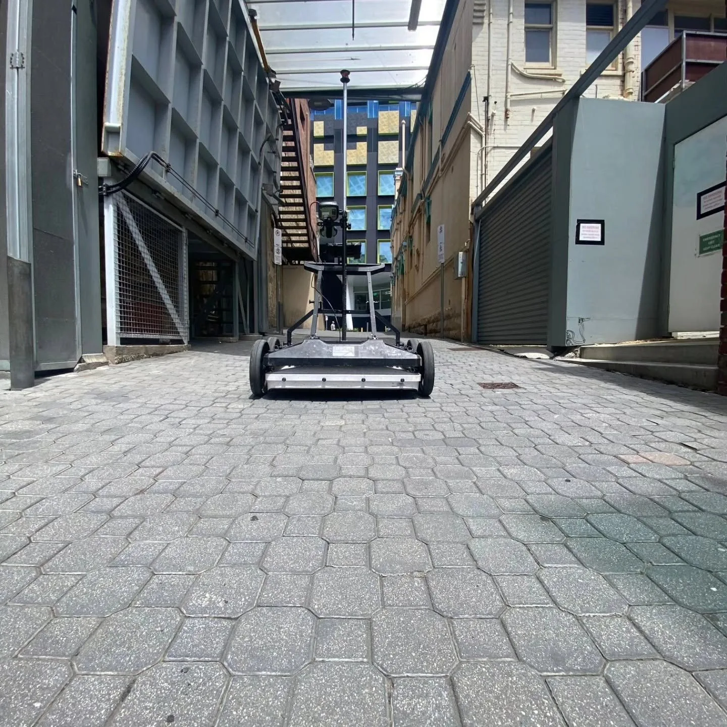
We start with the scope, the available records and the area where works are planned. Electromagnetic equipment detects signals from conductive services such as cables and metallic pipes. Radar can help where services are non-conductive or where records are incomplete. We mark findings on site and can capture them by survey for use in plans, CAD and GIS. Combining methods gives a fuller picture than relying on a single technique, though targeted excavation may still be needed to confirm a service physically.
Projects often need more than one method. Explore the rest of our capability, or contact our team to discuss a combined scope.
Laser scanners carried on the move record roads, corridors and built assets as measured 3D data.
Our surveyors set the control, levels and measured detail that design and construction work relies on.
Laser scanning records a structure or site as measurable three-dimensional data.
Aerial capture records terrain, stockpiles and assets that are difficult to reach from the ground.
Our radar traces buried services, voids and structural features before a project breaks ground.
We locate reinforcement, conduits and post-tension cables before anyone cuts, cores or drills.
A camera run through a pipe or drain shows the condition of the line from the inside.