
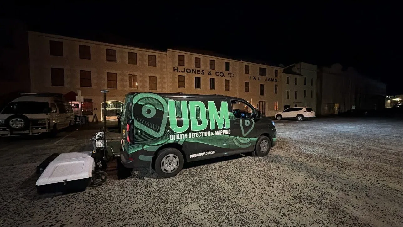
Surveyors in Canberra
Survey control, utility detection and asset records for Canberra infrastructure programmes.
Request a scope discussion
Tell us where the site is and when you need the data.
Measured Data to Support Project Decisions
Our team provides surveying in Canberra for infrastructure, civil, construction, property and asset projects where existing conditions need to be documented. UDM measures with GNSS and total stations, then adds ground penetrating radar where buried services matter, CCTV pipe inspection where a line has to be seen from the inside, concrete scanning before cutting or coring, and reality capture or UAV LiDAR where a site needs recording in three dimensions. Selecting technology around the site, the access available and the required outputs means a Canberra project gets the methods it needs rather than a standard package. We process and interpret what we collect so the information supports planning, design, construction, monitoring and asset management. Talk with us on (03) 6171 2555 about your scope.
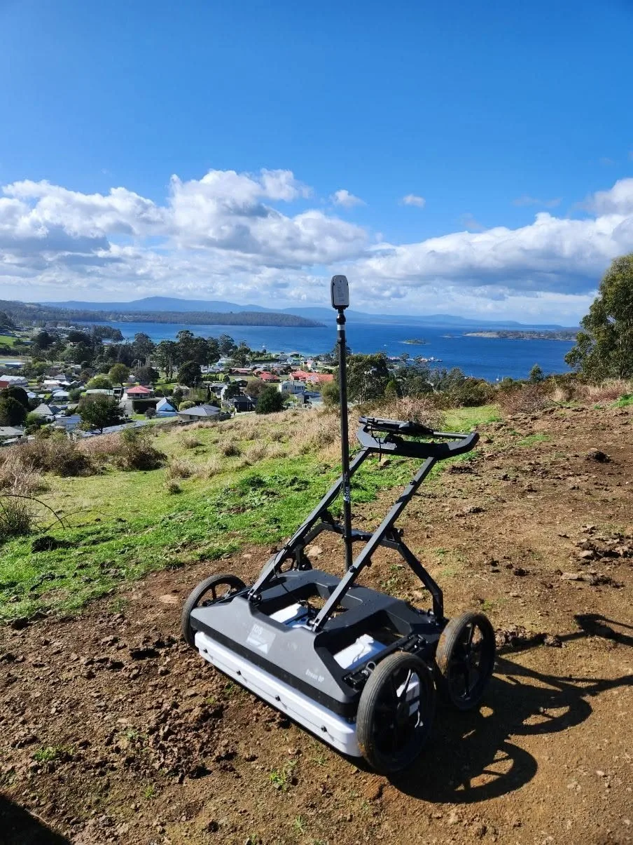
Ground Penetrating Radar in Canberra
Radar surveys let a project investigate the subsurface while leaving the ground undisturbed. We collect data with the antenna configuration matched to the expected depth and surface type, then interpret the responses to identify buried utilities and other subsurface changes. Because radar and electromagnetic locating detect different things, we often use them together. Results are geo-referenced so detected features can be carried into project drawings and asset records.
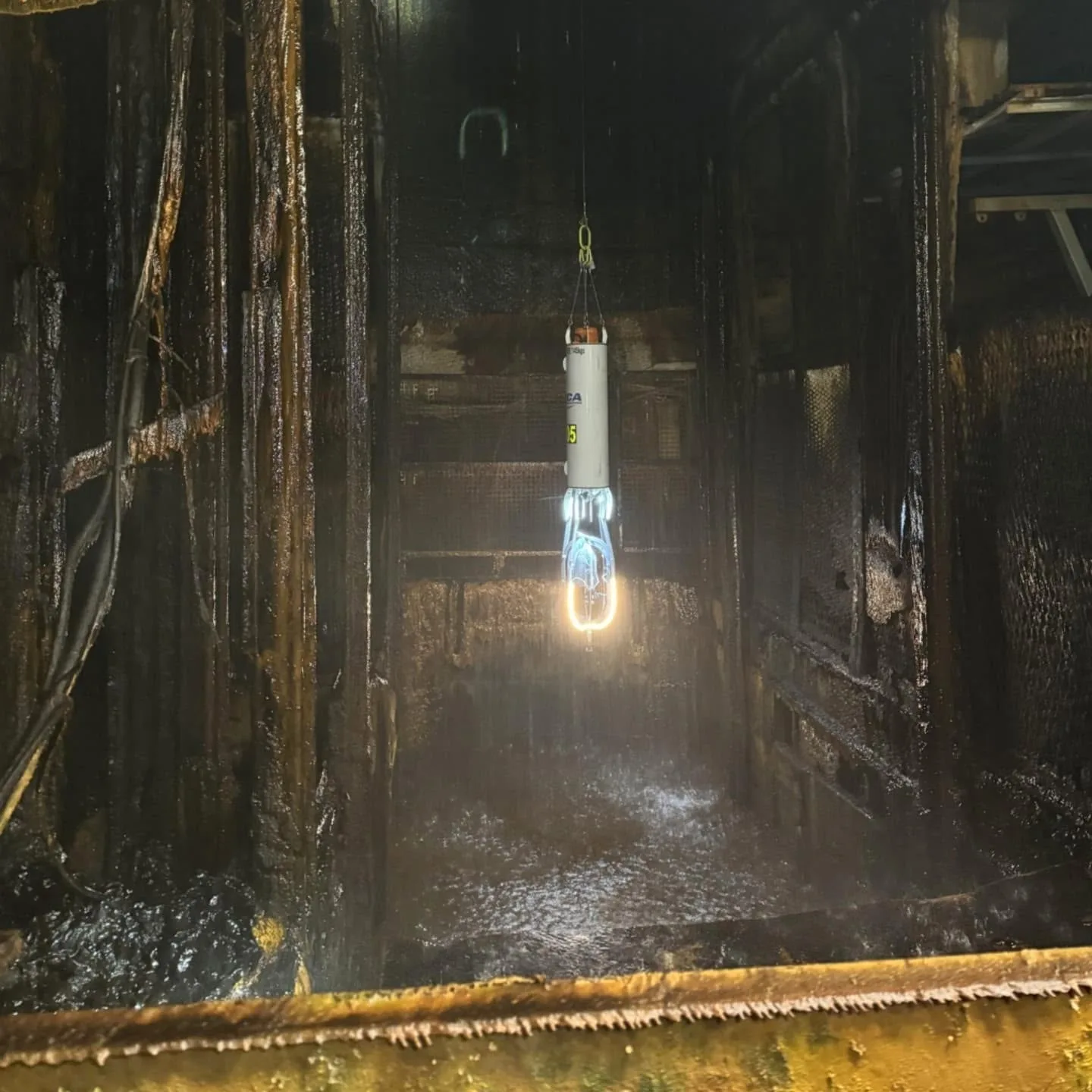
CCTV Pipe Inspection in Canberra
An internal inspection answers questions about a pipe that surface observation cannot. Our CCTV work records the condition of drainage and pipeline systems, showing visible cracking, blockages, root intrusion, corrosion and deformation for review. Where dimensional information is needed, additional measurement methods can supplement the footage. Asset owners use the results to plan maintenance, assess condition and decide whether repair or a closer investigation is the right next step.
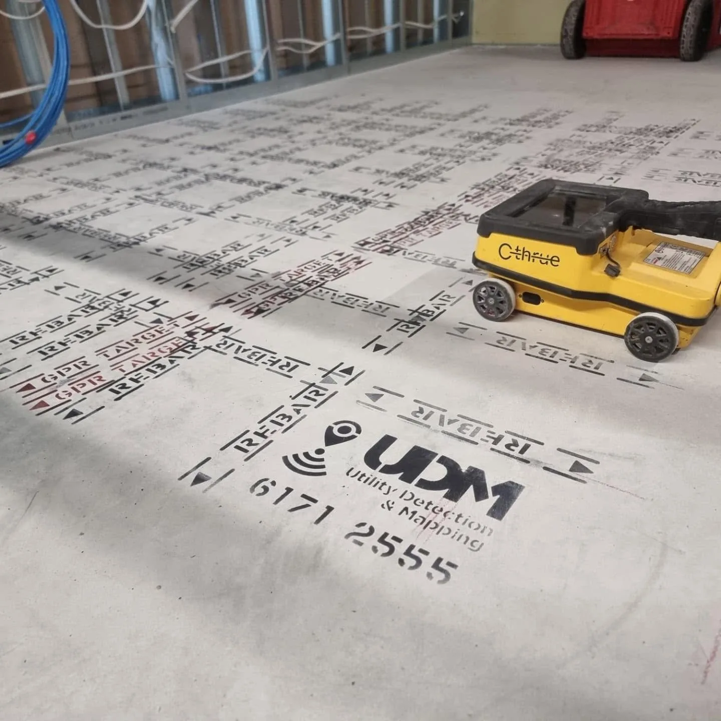
Concrete Scanning in Canberra
Knowing what sits inside a concrete element changes how intrusive work is planned. GPR scanning can indicate reinforcement and its spacing, post-tension cables, electrical conduits and water services within slabs, walls and floors, without opening the structure to find out. The survey approach follows the element, the accessible surface and the coverage required. Reported findings support proposed penetrations and any structural assessment that accompanies them.
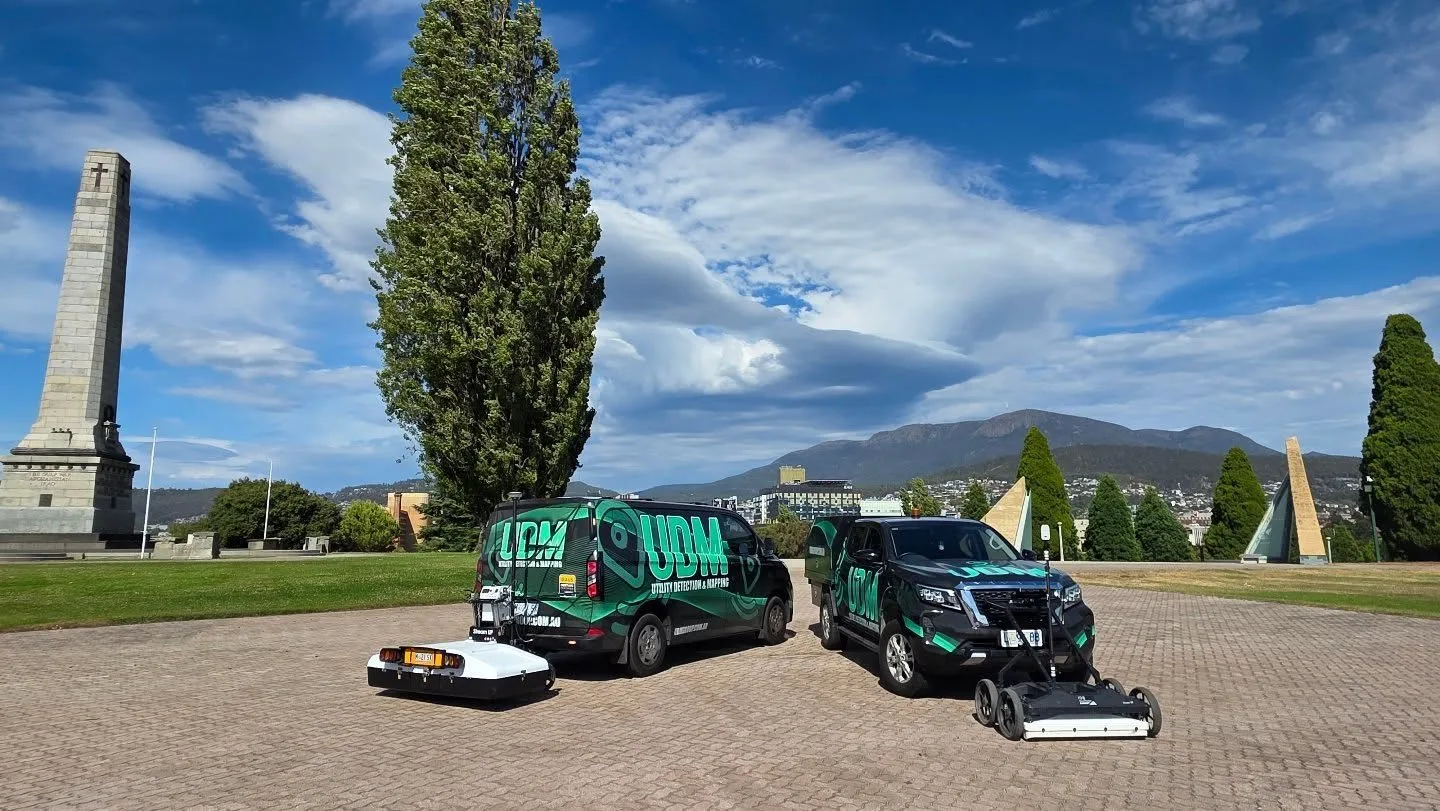
Surveyors in Canberra
Above and below ground, captured with the method the project needs.
Surveying and Spatial in Canberra
We deliver the measured spatial information that civil, infrastructure and construction projects depend on: engineering surveys, road surveys, deformation monitoring, asset mapping and records of conditions as they exist. GNSS, total stations, laser scanning and aerial capture are combined where multiple data sources add value. Repeat observation programs track movement or change in monitored structures. Data is prepared so design, construction, monitoring and asset workflows can use it directly.

UAV / LiDAR in Canberra
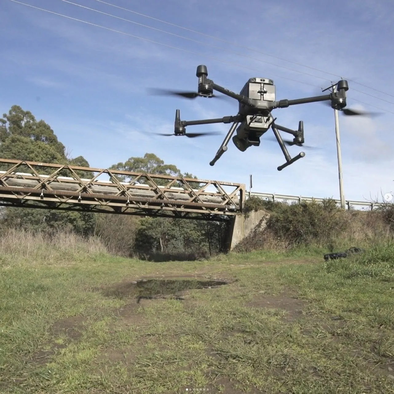
When a survey covers extensive terrain or difficult access, it can be captured from above. LiDAR produces dense point-cloud data describing terrain, structures and site conditions, and drone imagery records the same coverage visually. The datasets support mapping, terrain and surface modelling, infrastructure documentation and asset analysis, while reducing the amount of demanding ground that field personnel need to traverse.
Discuss a project
Tell us where the site is and what stage the project is at, and we will set out the approach.