Surveying & Spatial
Our surveyors set the control, levels and measured detail that design and construction work relies on.
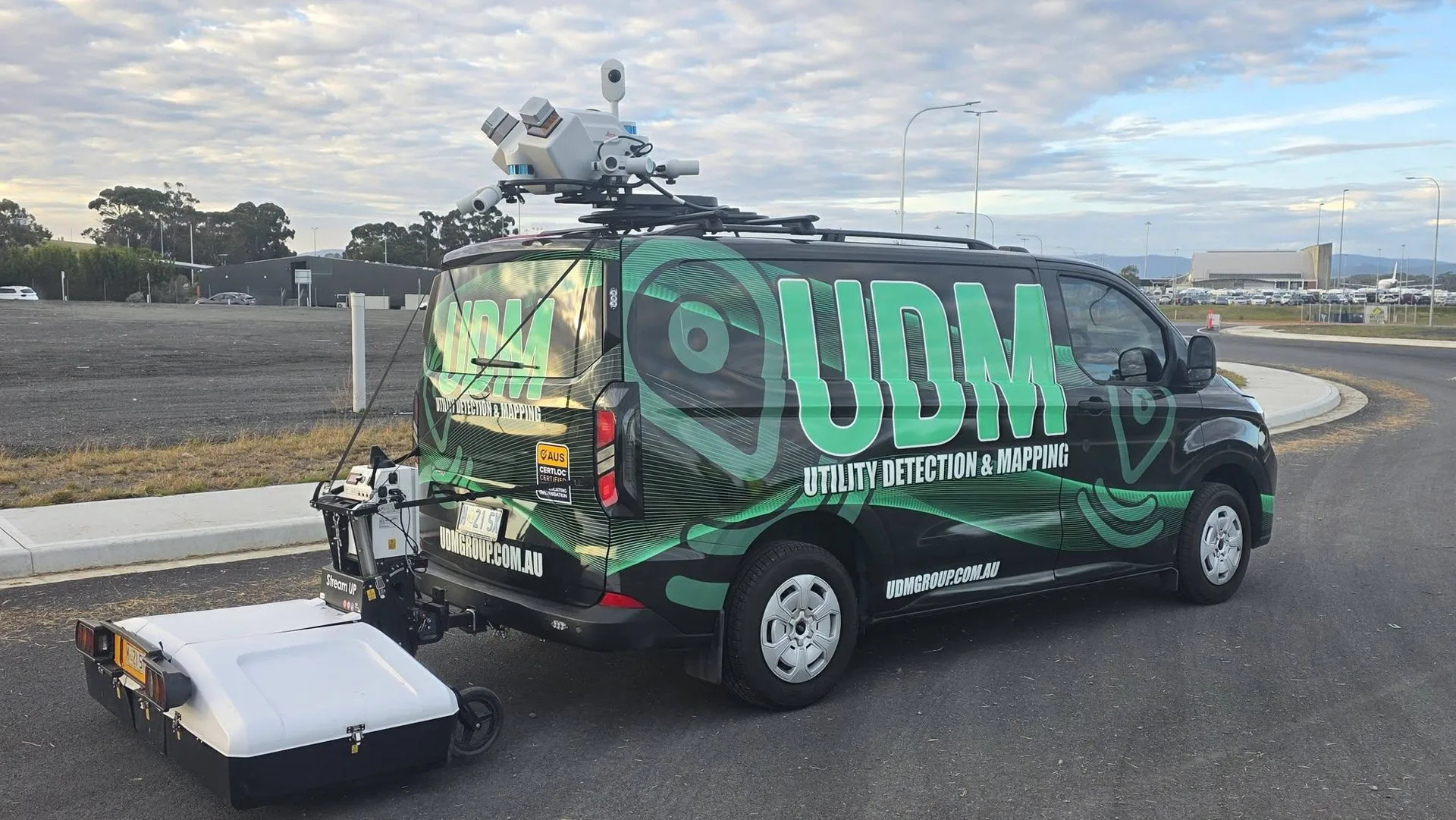
Laser scanners carried on the move record roads, corridors and built assets as measured 3D data.
Tell us about the site and what you need to find.
At UDM, we provide mobile laser scanning in Australia for projects that need existing conditions recorded across long corridors and large sites. Laser scanners collect dense measurements of surfaces, structures and features while the equipment moves along the survey route, building a detailed record of the site as it stands. Our surveyors register the scan data to project control so it can be used alongside other measured information. Where a project needs detailed capture of a specific structure or interior, our reality capture service can add a closer view. Discuss the corridor, the site and the outputs you need by calling (03) 6171 2555.
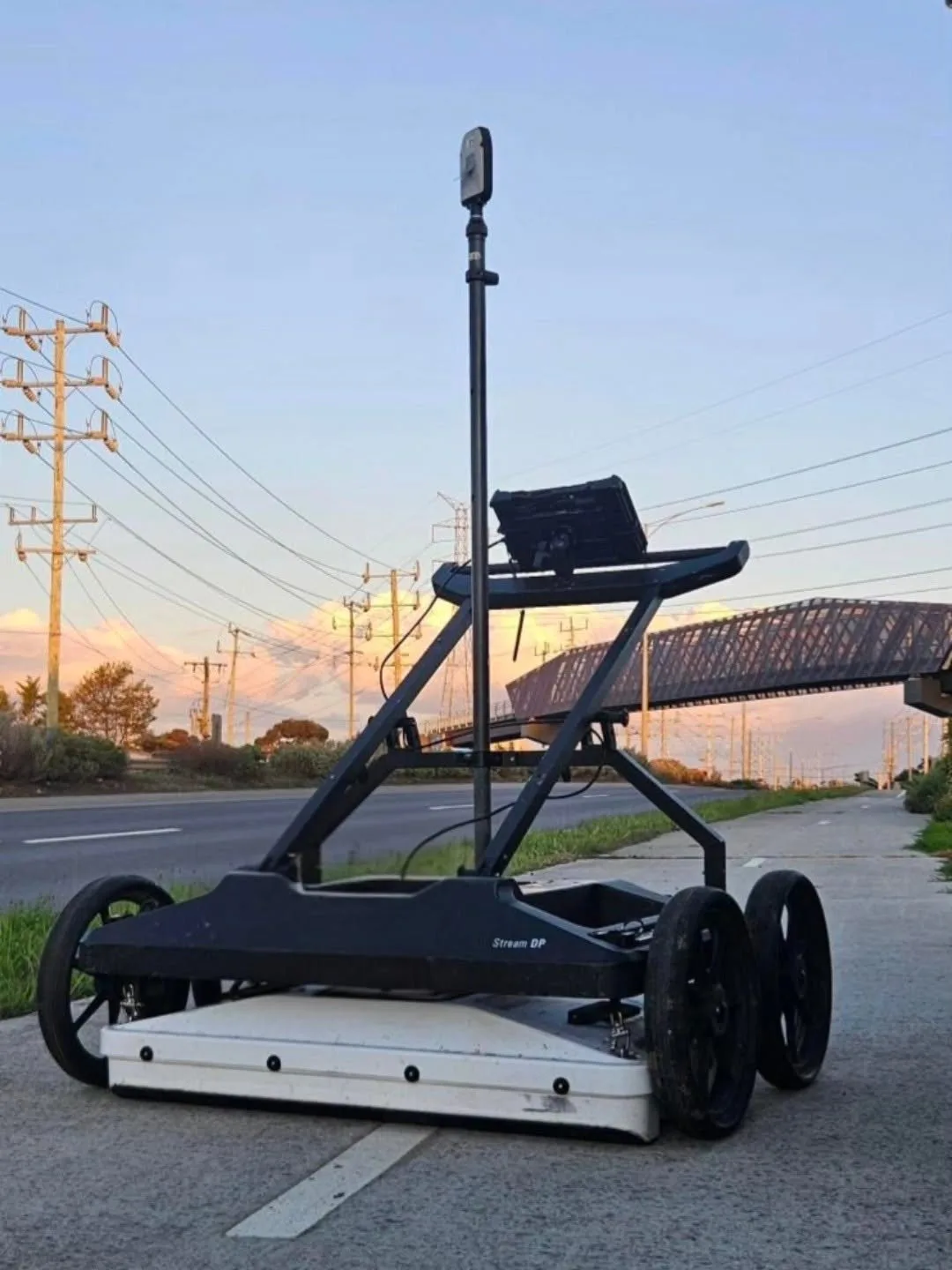
We plan each scan around the route, access and the level of detail the project requires. We collect data along the corridor, then process it into point clouds that represent the captured surfaces in three dimensions. Survey control ties the data to a known reference so measurements stay consistent with design and survey information. Processed outputs can support CAD, GIS and modelling workflows for planning, design and asset management. Mobile capture can also reduce the time spent working on foot in active road and corridor environments.
Projects often need more than one method. Explore the rest of our capability, or contact our team to discuss a combined scope.
Our surveyors set the control, levels and measured detail that design and construction work relies on.
Laser scanning records a structure or site as measurable three-dimensional data.
Aerial capture records terrain, stockpiles and assets that are difficult to reach from the ground.
Our radar traces buried services, voids and structural features before a project breaks ground.
Electromagnetic locating and radar help identify buried services before excavation or design starts.
We locate reinforcement, conduits and post-tension cables before anyone cuts, cores or drills.
A camera run through a pipe or drain shows the condition of the line from the inside.