
Surveyors in Geelong
Radar, pipe inspection and aerial capture for Geelong development and infrastructure sites.
Request a scope discussion
Tell us where the site is and when you need the data.
Practical Spatial Information for Geelong
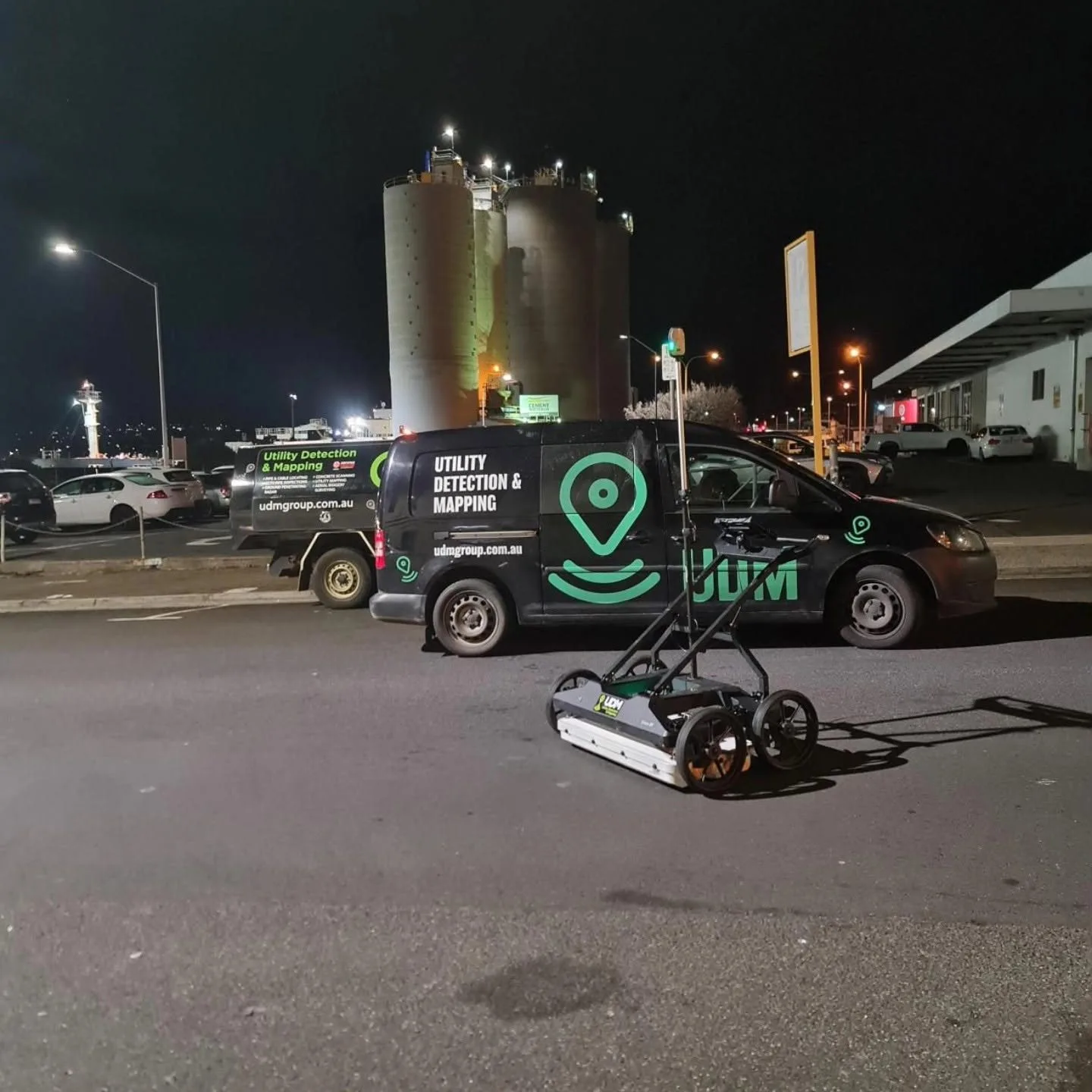
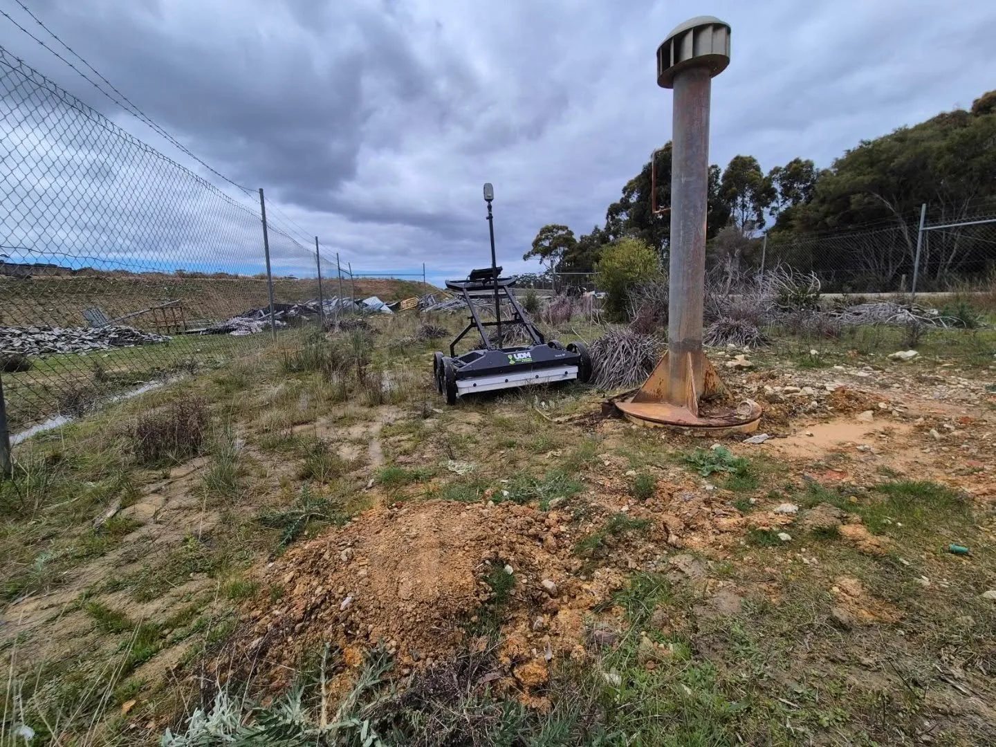
UDM supports Geelong projects with surveying and subsurface investigation aimed at one thing: showing project teams what the existing conditions are. Our surveyors measure with GNSS and total stations, investigate beneath the surface with ground penetrating radar in single, multi-array and mobile configurations, look inside a line with CCTV pipe inspection, check slabs with concrete scanning, and cover wider ground through reality capture and UAV LiDAR. That range means the method follows the project in Geelong rather than the other way around, whether the work involves civil infrastructure, construction, property or asset management. Everything we collect is processed to support planning, design, construction, monitoring and asset workflows. Phone (03) 6171 2555 to start the conversation.
Ground Penetrating Radar in Geelong
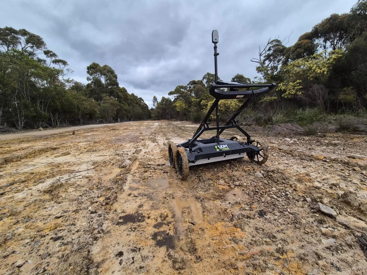
Investigating below a surface does not have to begin with a machine. GPR records how radar responds to changes in subsurface materials, which allows buried services and other features of interest to be identified and mapped. We match antenna configuration to depth and coverage requirements, and pair radar with electromagnetic locating where a network warrants both. Interpretation is part of the service, so findings arrive as project information rather than raw traces.
CCTV Pipe Inspection in Geelong
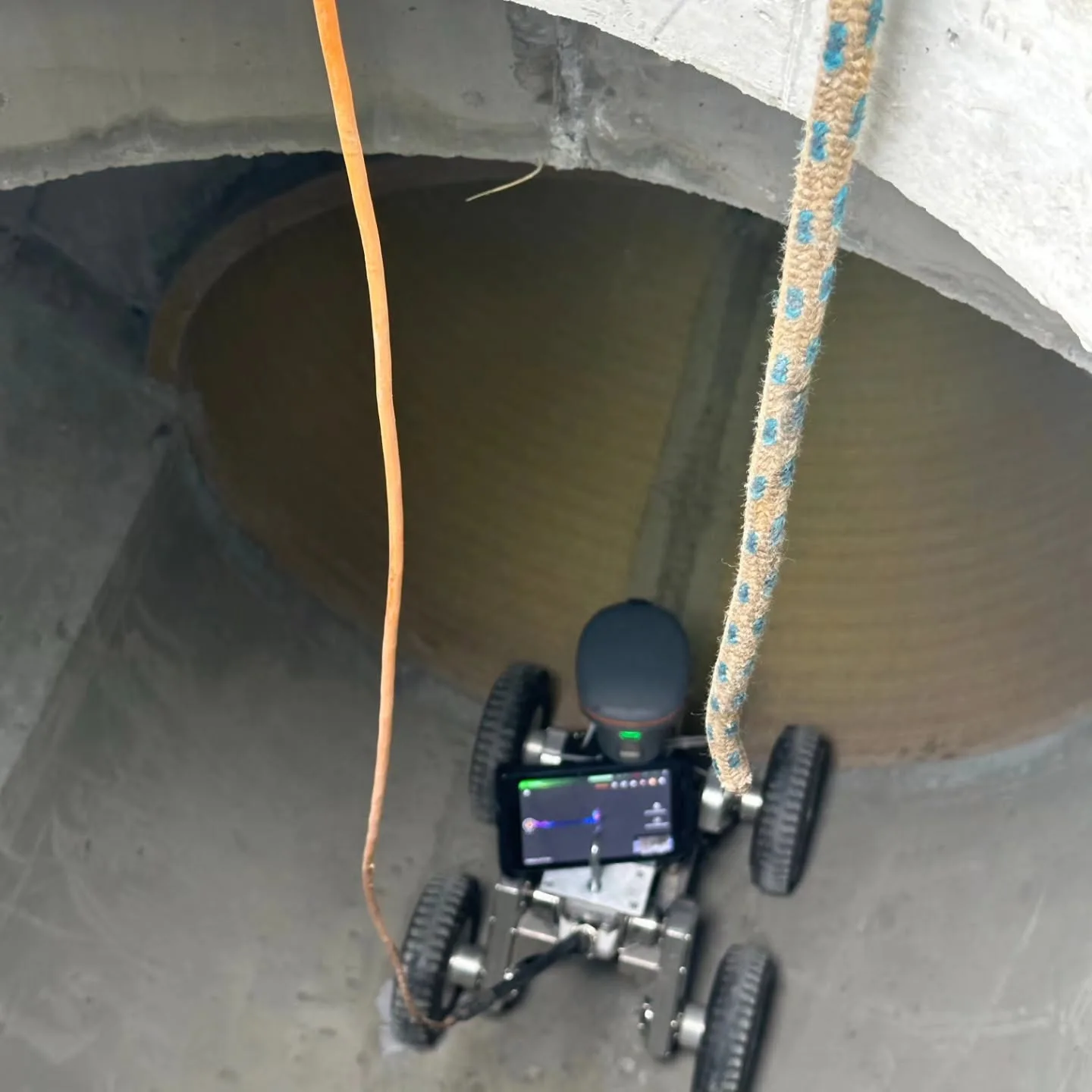
We inspect drainage and pipeline systems with cameras so their internal condition can be reviewed on screen rather than inferred. Footage can show cracking, blockages, root intrusion, corrosion and deformation, and additional measurement methods can be added when pipe geometry or fall needs quantifying. Access points and pipe size determine the equipment used. The recorded observations then support maintenance planning, condition reporting and repair decisions for asset owners.
Concrete Scanning in Geelong
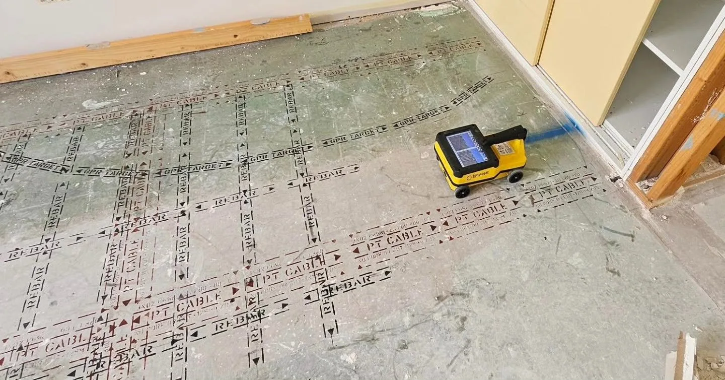
Cutting into concrete without checking it first carries avoidable risk. Radar scanning can indicate the presence and arrangement of reinforcement, the position of post-tension cables and the path of embedded conduits or water services within slabs, walls and floors. Because scanning works from the accessible surface, the element stays intact while the data is collected. Findings inform planned penetrations and support wider structural assessment where that is required.
Surveyors in Geelong
Above and below ground, captured with the method the project needs.
Surveying and Spatial in Geelong
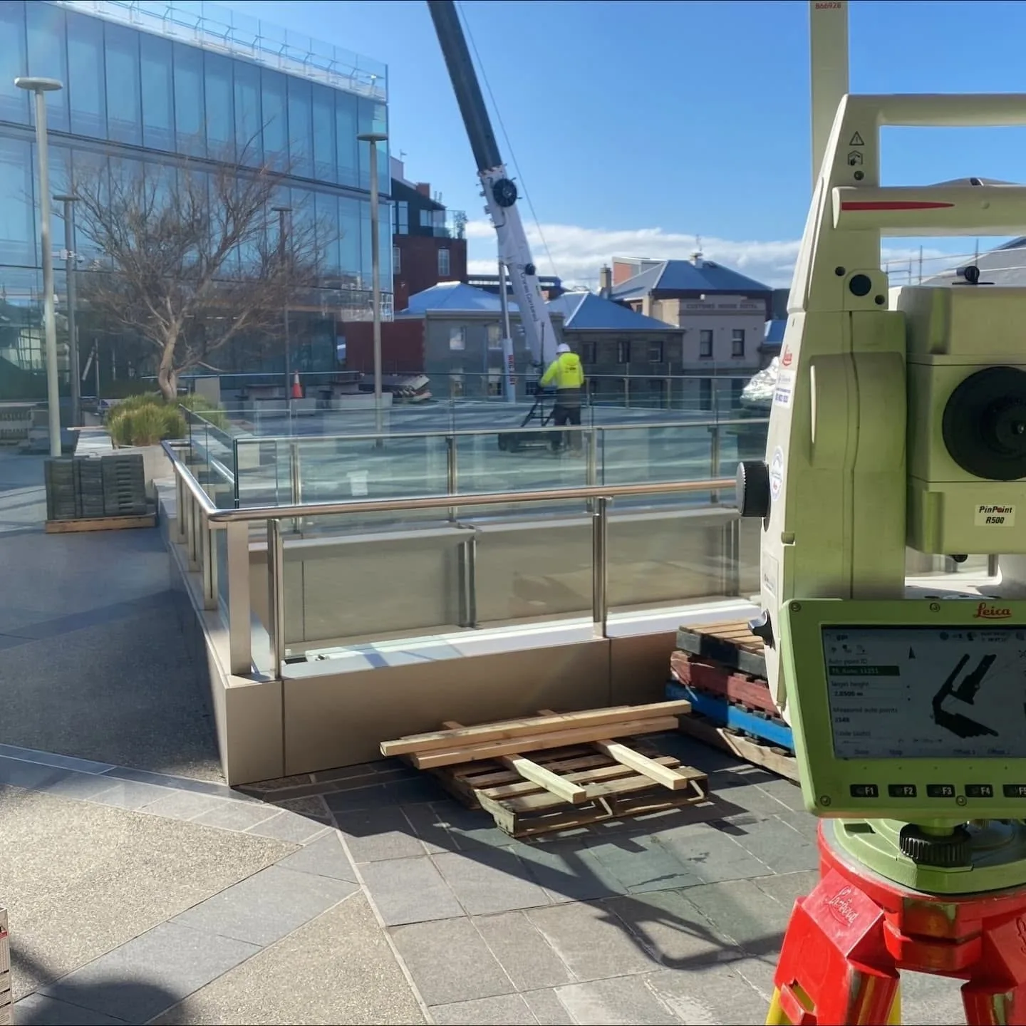
Our surveying and spatial services cover engineering surveys, road surveys, deformation monitoring, asset mapping and detailed records of existing conditions. GNSS, total stations, laser scanners and aerial capture are treated as complementary tools, combined when a project benefits from more than one data source. Repeat measurement programs are designed around the structure or surface being observed. Deliverables are prepared for design, construction, monitoring and asset management use.
UAV / LiDAR in Geelong
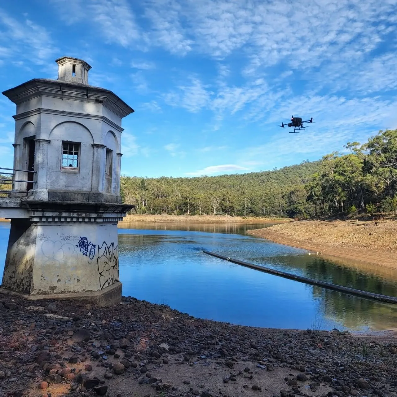
Drone and LiDAR capture is efficient where a survey area is extensive, complex or hard to traverse safely. Point-cloud data describes terrain, structures and surfaces in three dimensions, and aerial imagery records the same site visually for mapping and monitoring. The combination supports terrain models, infrastructure documentation and asset analysis, and it limits how much of an awkward site has to be covered by field personnel on the ground.
Discuss a project
Tell us where the site is and what stage the project is at, and we will set out the approach.