
Surveyors in Melbourne
Underground detection and spatial data for Melbourne construction and civil delivery.
Request a scope discussion
Tell us where the site is and when you need the data.
Spatial and Subsurface Data for Melbourne
UDM provides surveying in Melbourne for construction, civil, infrastructure, property and asset projects where the condition of a site has to be established before work progresses. We measure with GNSS and total stations, record the site through reality capture and UAV LiDAR, investigate below the surface with ground penetrating radar in single, multi-array and mobile forms, look inside a line with CCTV pipe inspection, and check slabs with concrete scanning before they are cut. Because Melbourne projects often need several of these working together, we scope the combination against access, coverage and the deliverables your team will use. Processed information supports planning, design, construction, monitoring and asset management. Speak with us on (03) 6171 2555.
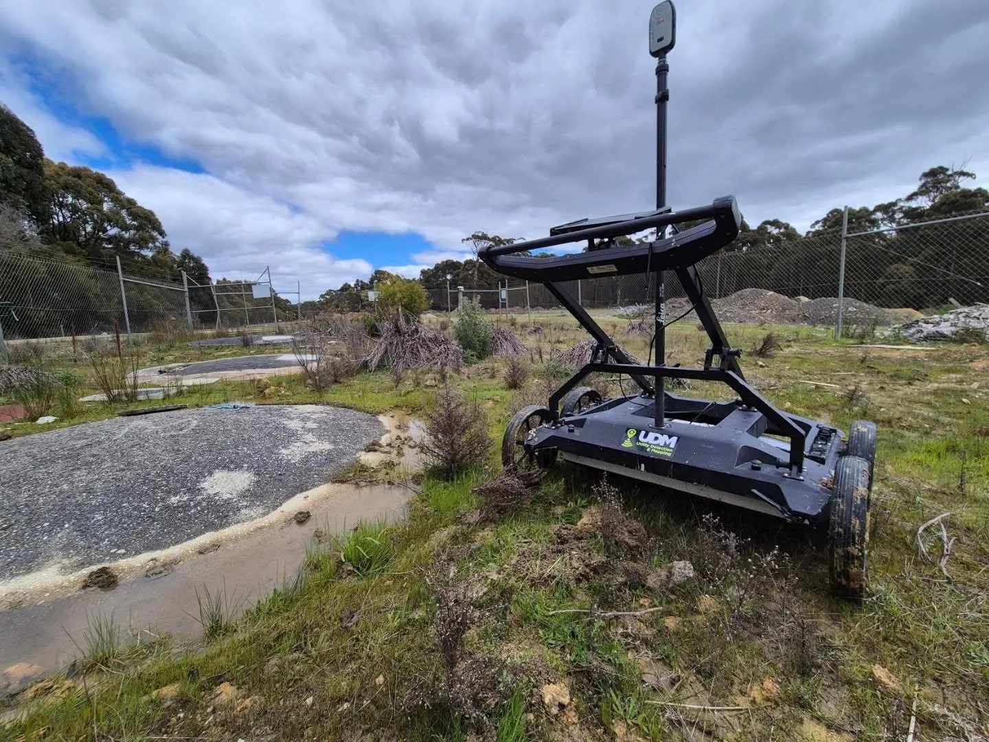
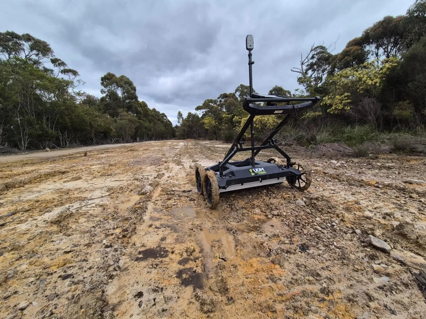
Ground Penetrating Radar in Melbourne
Ground penetrating radar is our starting point when a project needs to understand the subsurface without breaking ground. Radar responses reveal buried utilities and other material changes, and we interpret and position those findings for use in design and asset information. Antenna choice, survey spacing and coverage are set against the ground conditions and depth of interest. Where a network is mixed, electromagnetic locating runs alongside radar to broaden detection.
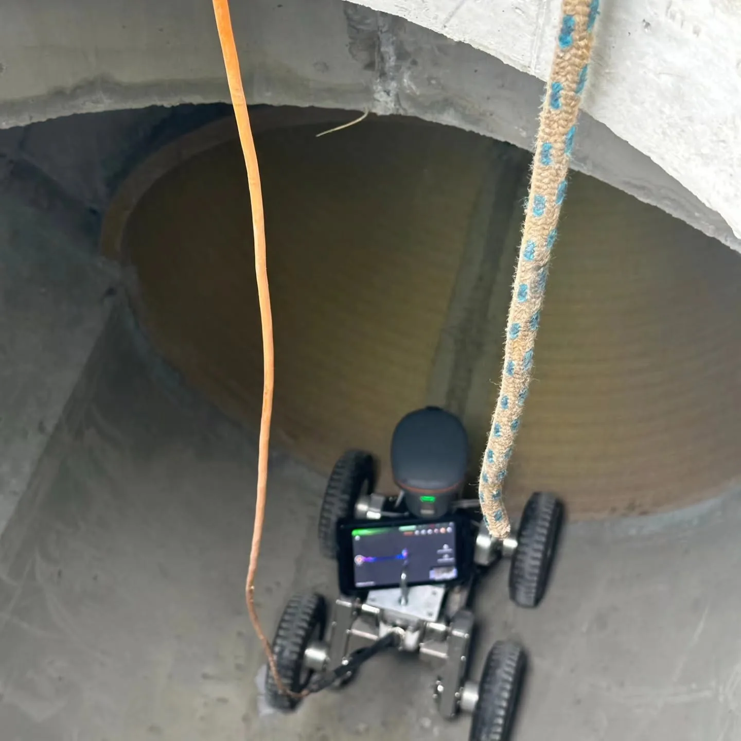
CCTV Pipe Inspection in Melbourne
Our pipe inspections give asset owners a direct look inside drainage and pipeline systems rather than an assumption about their condition. Recorded footage shows visible cracking, blockages, root intrusion, corrosion and deformation, and further measurement can be added where geometry or fall matters. Camera equipment is matched to pipe size and available access. Findings then inform maintenance planning, condition reporting and whether repair or deeper investigation is justified.
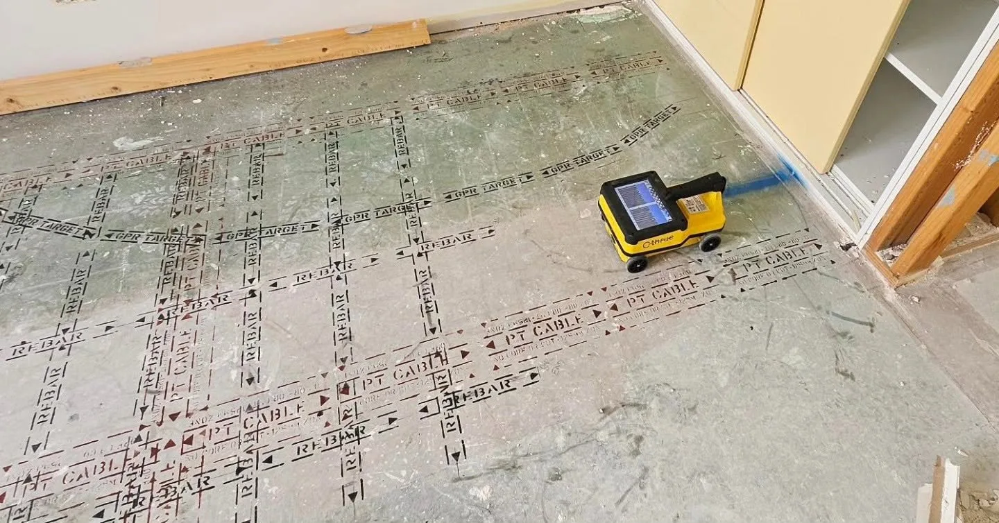
Concrete Scanning in Melbourne
Concrete scanning is a practical step before any penetration is made. Radar collected from the accessible face can indicate reinforcing steel and its arrangement, post-tension cables, and conduits or pipes cast into slabs, walls and floors. We agree the element, scan coverage and required output before fieldwork so the results answer the question at hand, whether that is planning a core, a saw cut or a wider structural assessment.
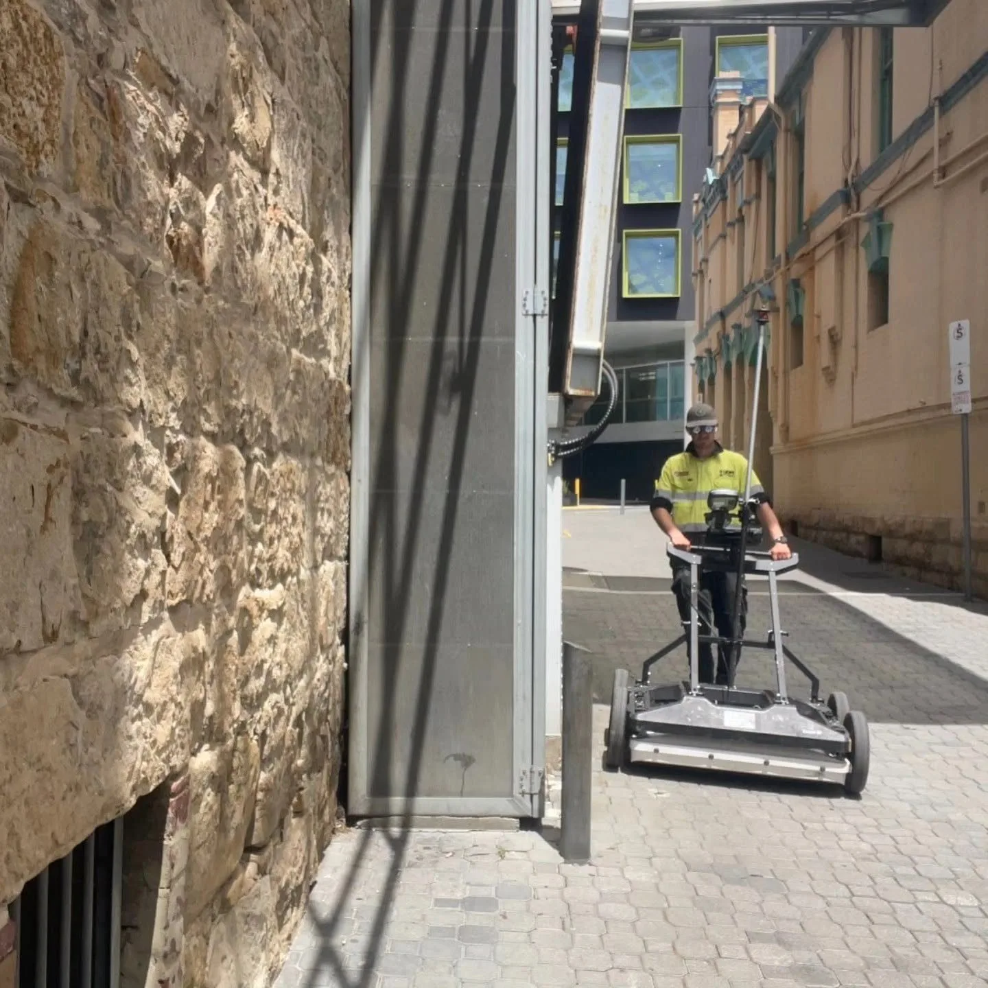
Surveyors in Melbourne
Above and below ground, captured with the method the project needs.
Surveying and Spatial in Melbourne
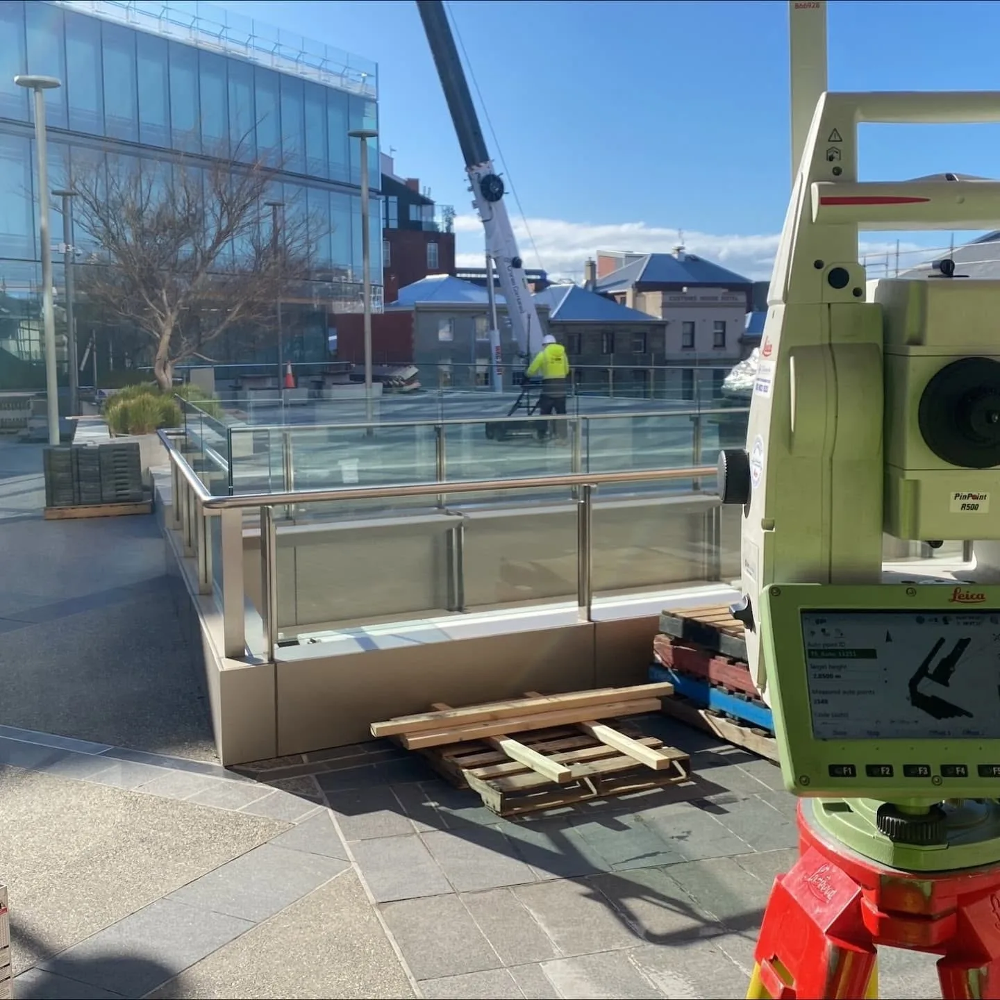
Surveying and spatial services from our team cover engineering surveys, road surveys, deformation monitoring, asset mapping and the capture of existing site conditions. We treat GNSS, total stations, laser scanning and aerial capture as complementary methods, selecting and combining them around access, accuracy and coverage. Monitoring uses repeat observations to identify movement over time. Data is delivered ready for design coordination, construction control and ongoing asset workflows.
UAV / LiDAR in Melbourne
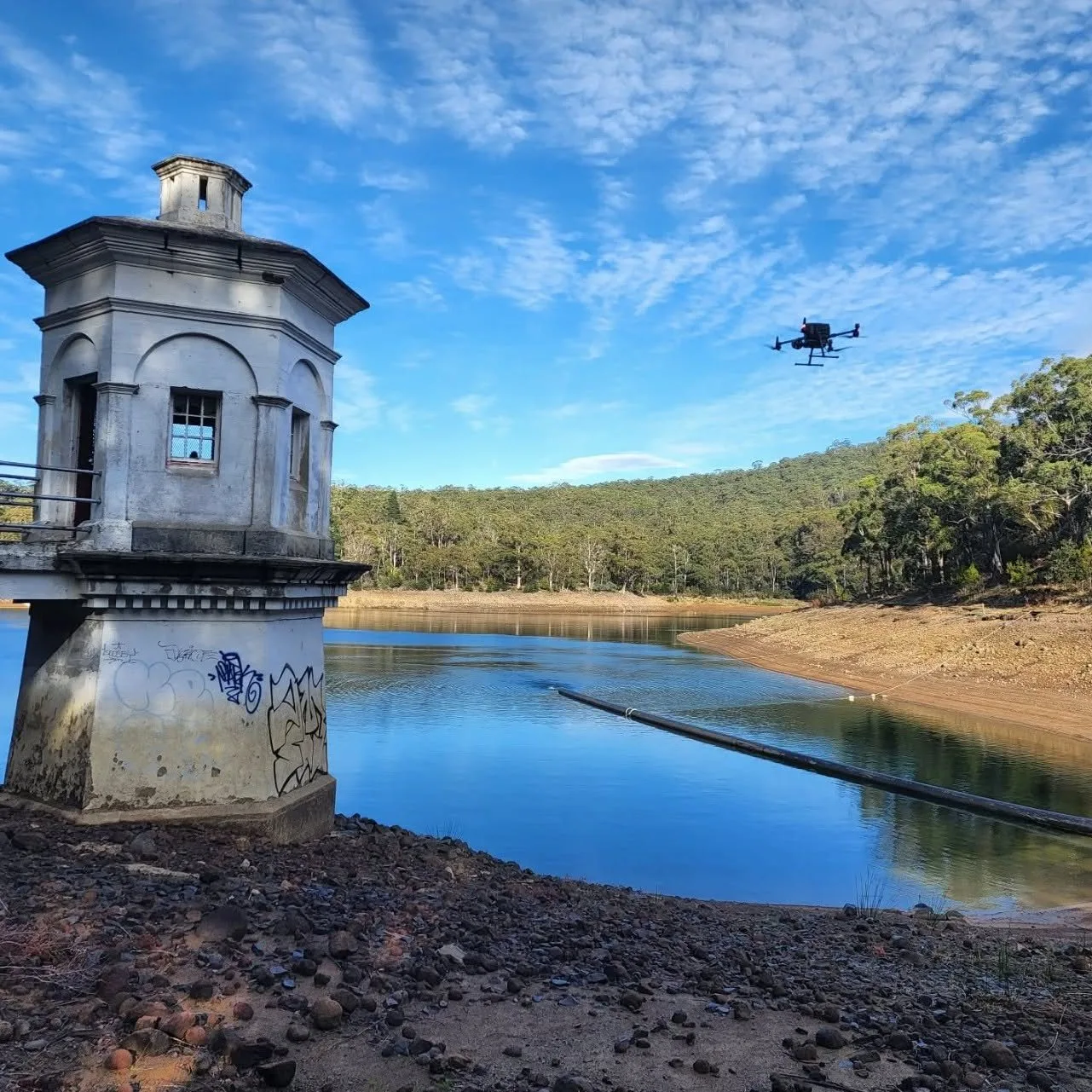
Some sites are captured from the air rather than on foot. Airborne LiDAR records dense point clouds describing terrain, structures and surfaces, and drone imagery adds the visual layer over the same coverage. The resulting data supports mapping, terrain and surface modelling, infrastructure documentation, monitoring and asset analysis, while keeping field personnel off ground that would be extensive or difficult to cover measurement point by measurement point.
Discuss a project
Tell us where the site is and what stage the project is at, and we will set out the approach.