
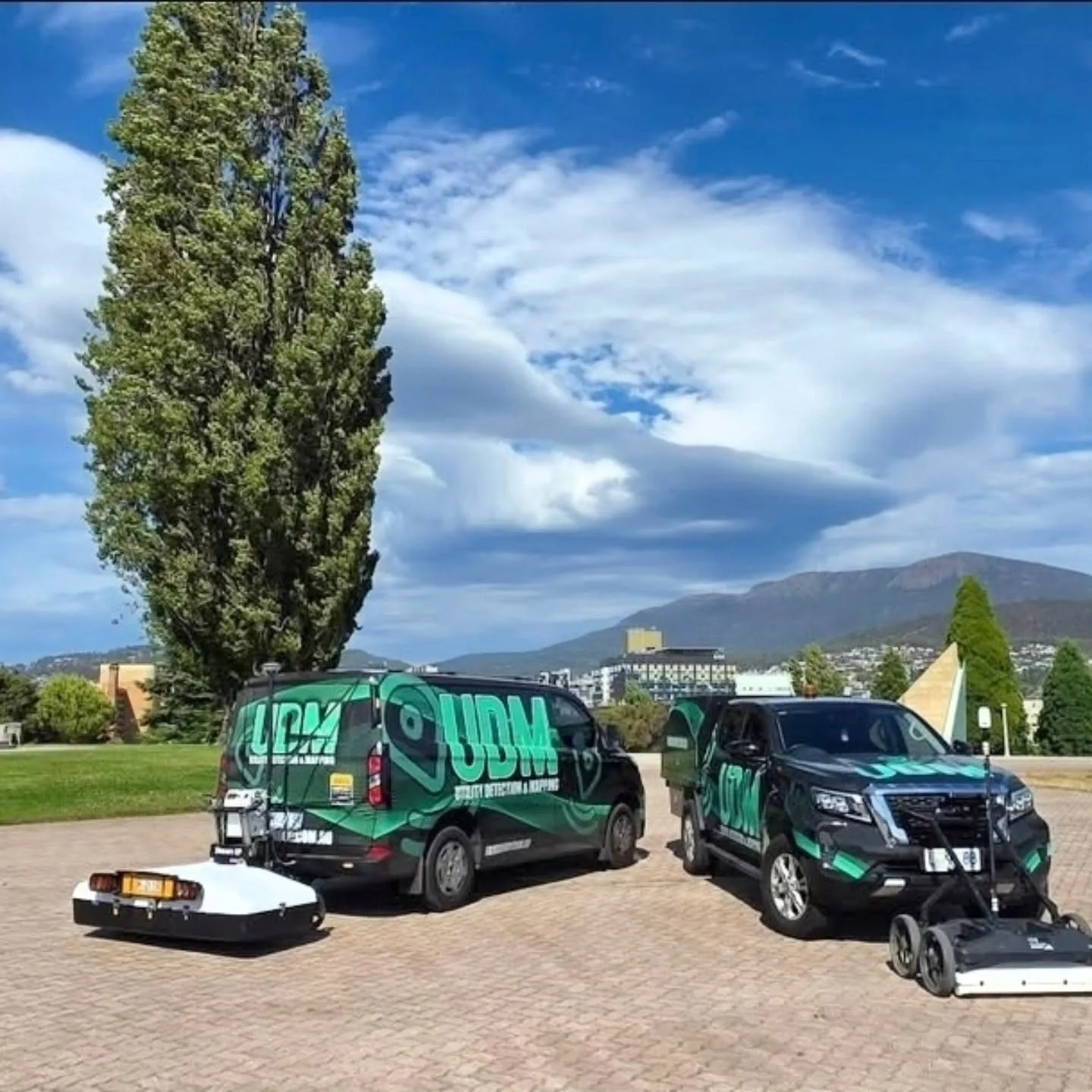
Technology and Fleet Equipment
Technology Selected for the Survey Task
We use a mix of ground-based, mobile and aerial technology to collect project information efficiently.
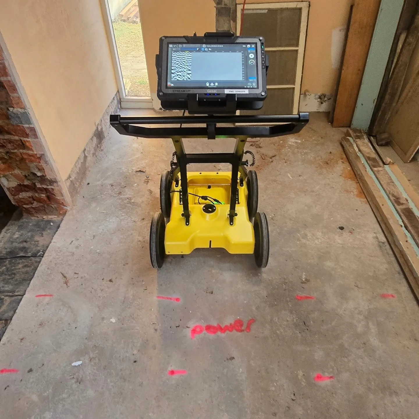
Our approved capability includes IDS GeoRadar Stream DP multi-array GPR, Stream UP mobile GPR, electromagnetic utility locating equipment, CCTV pipe inspection systems, GNSS and total-station surveying equipment, laser scanners, UAV platforms and LiDAR sensors. The equipment is only part of the process. We select technology around the surface, access, survey coverage and required output, then process and interpret the collected information for the project team. This allows us to combine methods when one dataset alone would not provide enough context.
Match technology to your scope
Tell us the site conditions, coverage and outputs you need, and we will confirm the equipment and methods that suit the project.