
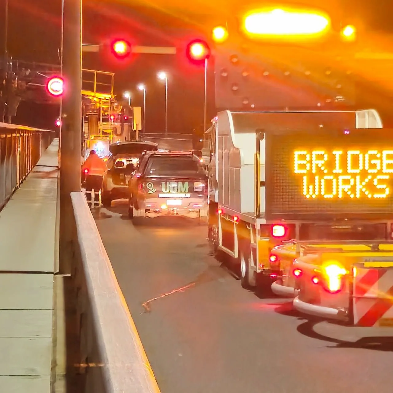
Surveyors in Sydney
Constrained Sydney sites where knowing what sits below is the first step.
Request a scope discussion
Tell us where the site is and when you need the data.
Surveying and Detection for Complex Sites
UDM works with Sydney project teams that need existing conditions established before design, construction or asset decisions progress. Our surveyors bring GNSS and total-station measurement together with ground penetrating radar beneath the surface, CCTV pipe inspection inside drainage, concrete scanning before slabs are cut, and reality capture or UAV LiDAR across the wider site, so a scope covering above and below ground is handled as connected work. Dense infrastructure and busy sites make method selection matter, and we scope surveying in Sydney around access, coverage and the deliverables your team actually needs. Processed data supports planning, design, construction, monitoring and asset workflows. Call (03) 6171 2555 to discuss the project.
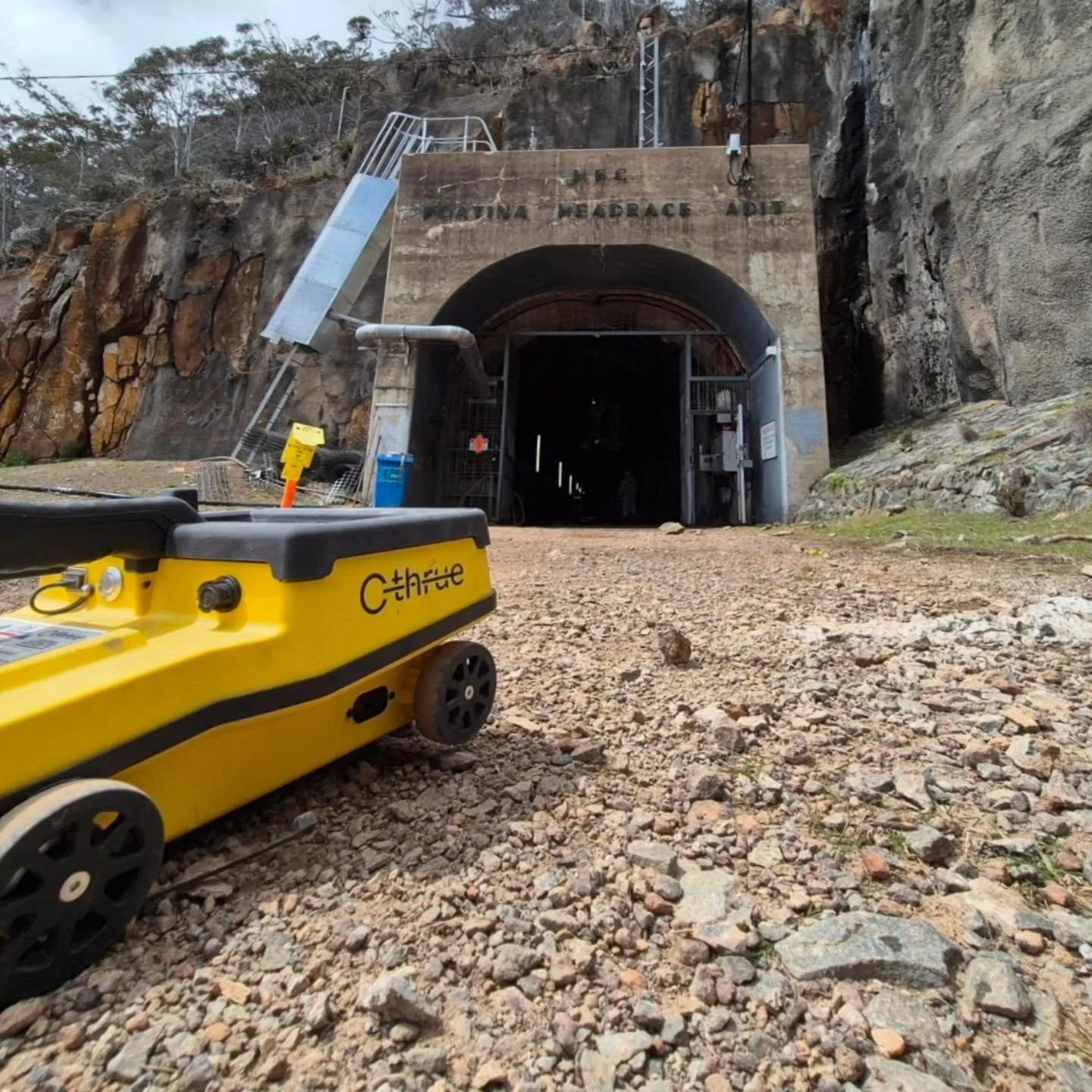
Ground Penetrating Radar in Sydney
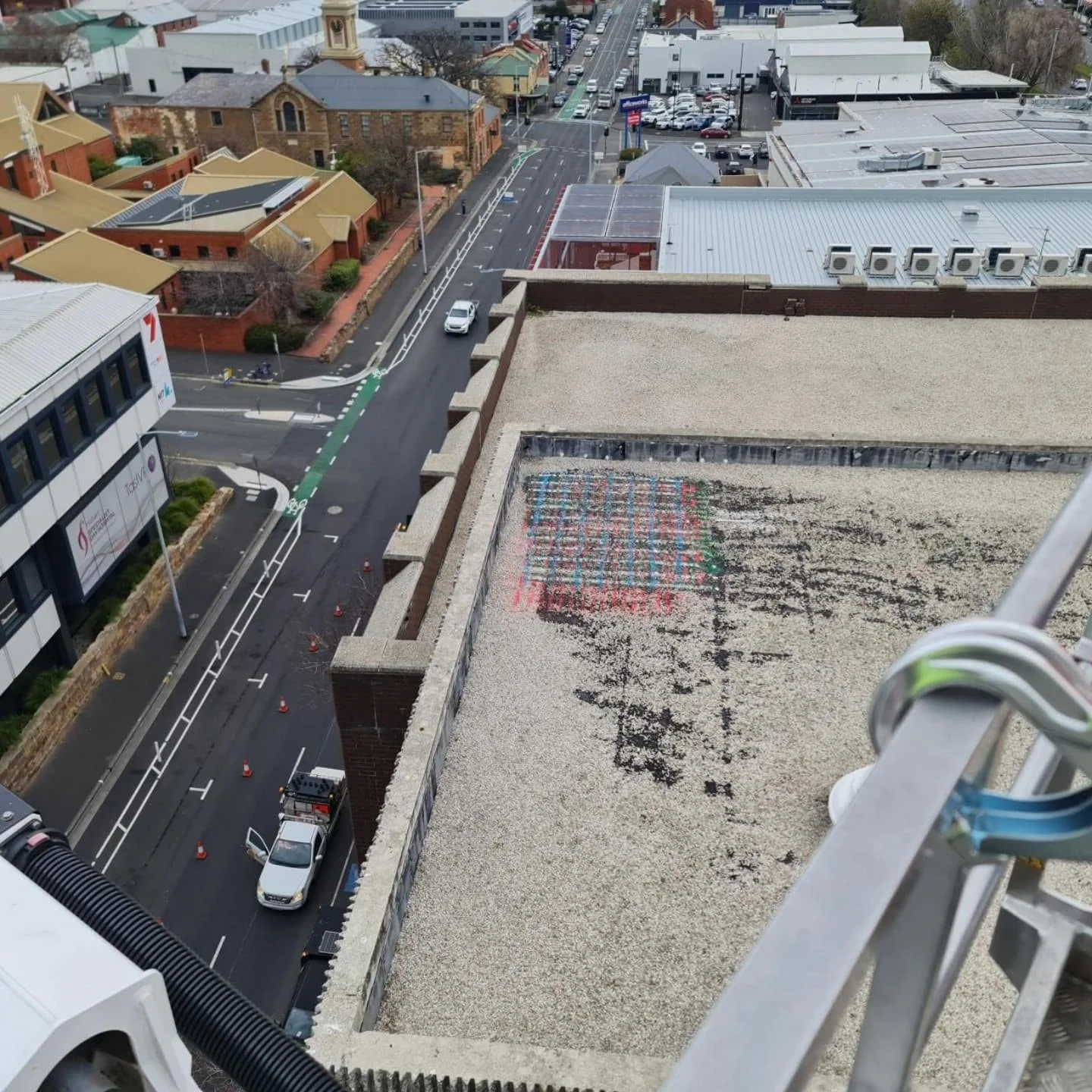
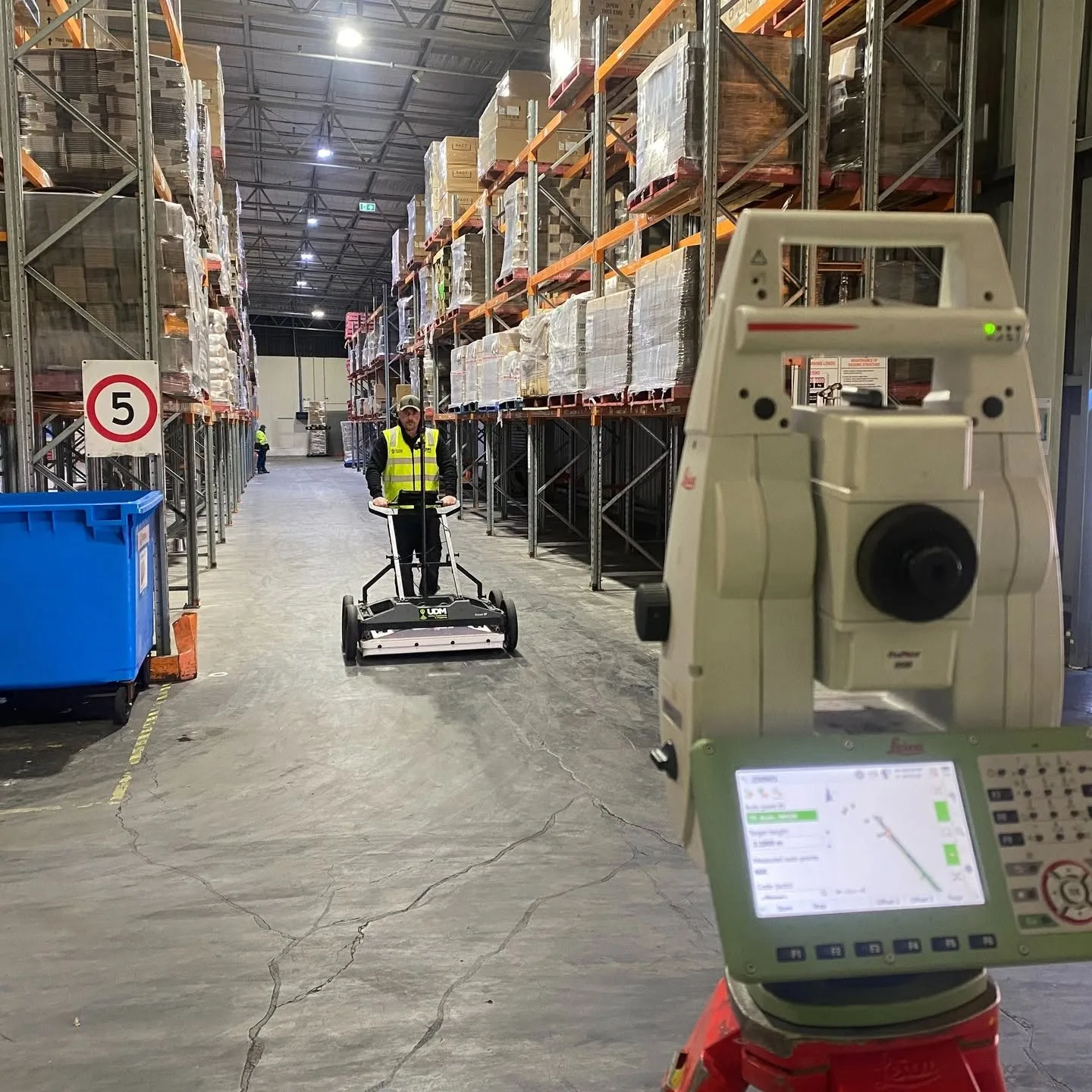
Congested underground environments need investigating before ground is opened. Ground penetrating radar responds to material changes below a surface, letting us identify buried utilities and other features and record them spatially for the project. Single, multi-array and mobile systems give us options across confined and extensive survey areas, and radar is used alongside electromagnetic locating on mixed networks. Ground conditions, target depth and required resolution all shape how a survey is designed and interpreted.
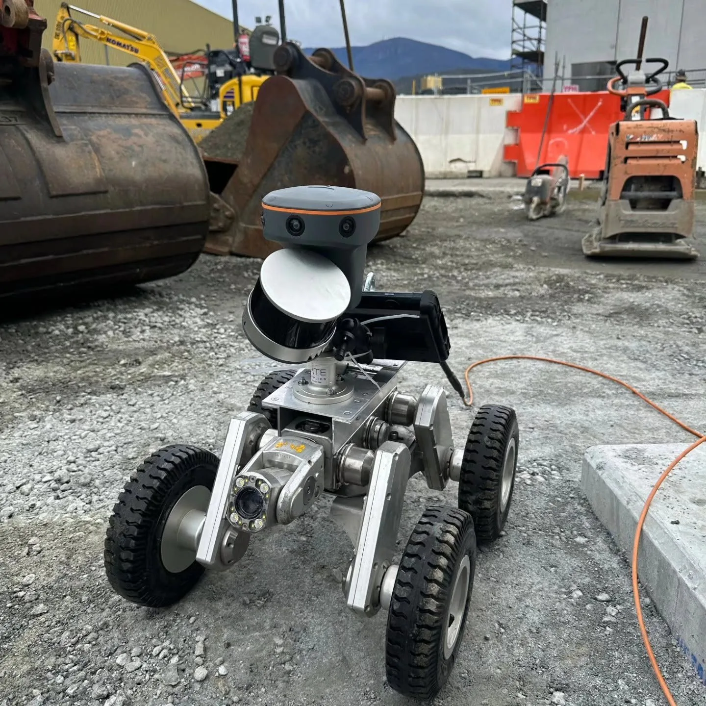
CCTV Pipe Inspection in Sydney
Camera inspection turns a hidden pipe network into something a team can actually assess. We record internal condition through drainage and pipeline systems, capturing visible defects, blockages, root intrusion and corrosion as they appear at the time of inspection. Access, pipe size and layout determine whether push-rod or tractor-mounted equipment is used. Reported findings feed condition assessment, maintenance programming and decisions about repair or further investigation.
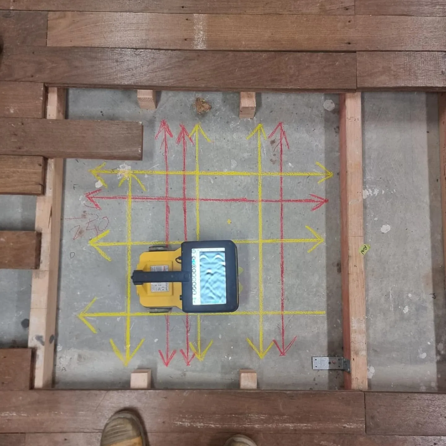
Concrete Scanning in Sydney
Structural elements rarely give up their contents visually. Scanning with radar can indicate reinforcement layout, post-tension cable positions, conduits and pipes embedded in slabs, walls and floors, all collected from the accessible face. We agree the scan area and objectives before fieldwork so results line up with the planned cutting, coring or drilling. Where a feature must be confirmed physically, that verification is handled separately from the scan.
Surveyors in Sydney
Above and below ground, captured with the method the project needs.
Surveying and Spatial in Sydney
Spatial information holds a project together across design, delivery and operation. Our work includes engineering and road surveys, deformation monitoring, asset mapping and existing-conditions capture, using GNSS, total stations, laser scanning and aerial data collection as the scope demands. Monitoring programs use repeat observations to reveal movement or change over time. Outputs are issued in formats engineering, construction and asset teams can bring straight into their own workflows.
UAV / LiDAR in Sydney
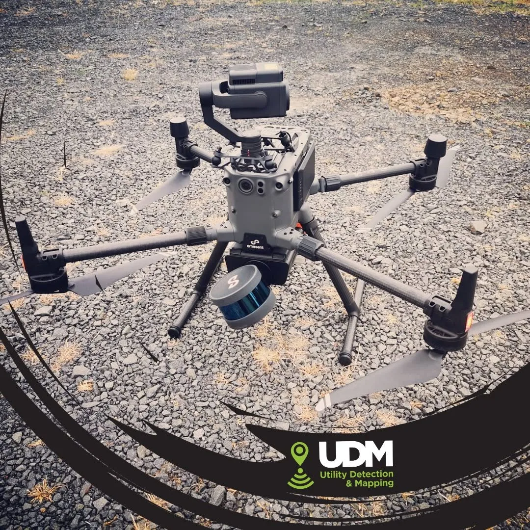
Aerial methods give coverage that would be slow or impractical to achieve entirely from ground level. LiDAR builds dense point clouds of terrain, structures and site conditions from measured laser returns, while UAV imagery supplies the visual record alongside it. Both support mapping, modelling, surface analysis and asset documentation. We choose platform, sensor and flight approach based on access constraints, the area involved and the intended data use.
Discuss a project
Tell us where the site is and what stage the project is at, and we will set out the approach.